
 | ||
Similar Manchester, Old Trafford, Trafford | ||
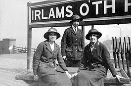
Irlams o th height 1
Irlams o' th' Height is an area of Pendleton, in Salford, Greater Manchester, England. It is on the extremity of the old pre-1974 Salford city boundary, and stands next to Swinton and Pendlebury.
Contents
- Irlams o th height 1
- Irlams o th height
- Churches
- Primary schools
- Public houses
- Public parks
- Public library
- Irlam family
- References
One of the main features of Irlams o' th' Height is the A6 dual carriageway running through it, with Bolton Road (formerly the A6) running parallel to it.
The village is on top of the Irwell Valley on higher ground than the rest of Pendleton (Hence the name "The Height"), and roads such as Bank Lane go down the valley to Duchy Road. There has been a settlement at Irlams o' th' Height for many centuries, and it is widely accepted that the name derives from the Irlam family (see below) that ran the Pack Horse Inn during the 17th and 18th centuries. It was first recorded in the parish of Eccles in 1180. The village became prosperous in the 19th century due to the Industrial Revolution, and became a well-established community of handloom weavers.
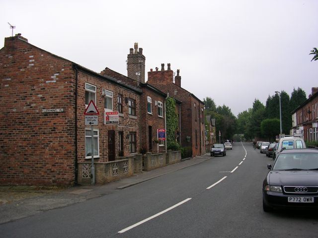
Some parts of the area are now designated as a conservation area, centring on Queen Street, King Street and Claremont Road, as these retain the early street pattern. Thirty buildings are recognised as being of archaeological or historic interest in the Greater Manchester Sites and Monuments Register. The conservation area was designated in 1991, and it is 1.02 hectares (2.52 acres) in size.
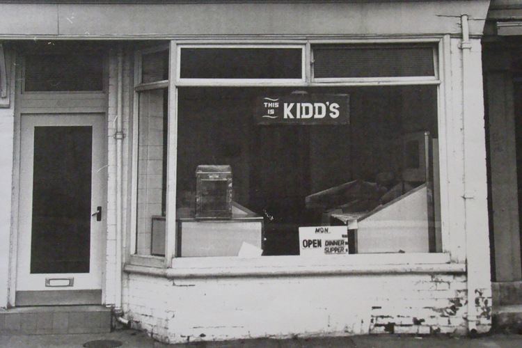
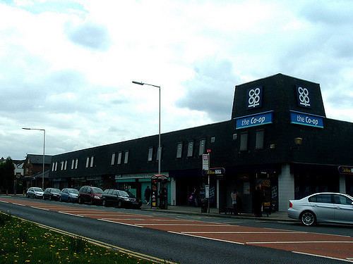
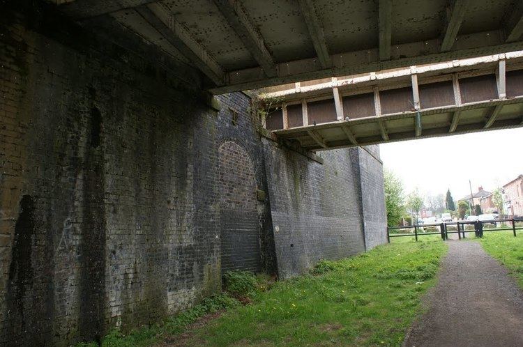
Irlams o' th' Height had a railway station until 1955 when it was closed due to a low number of passengers. It was on the Manchester to Southport Line via Wigan Wallgate. Heading towards Wigan, the preceding station was Pendleton (closed in 1994 after Salford Crescent railway station opening several years previously) and the following station was Pendlebury, closed in 1960. Pendleton College, a sixth form college is situated on Dronfield Road, on the site of the former Pendleton High School for Girls, which closed in 1973. Buile Hill High School is nextdoor on Eccles Old Road (A576), close to Seedley. There is a large Aldi (formerly the Co-op) near the junction of the A580, A6 (to Swinton and Walkden) and A666. Here we find the start of the East Lancashire Road (A580 to Leigh and St Helens) and the A666 (to Pendlebury, Clifton, Kearsley, Farnworth and beyond). This store was originally a Co-op store which began in 1983 as the Shopping Giant store which included a small garden centre at its rear next to Claremont Road.
Just over the Pendlebury boundary stands the parish church of St John the Evangelist, which includes a burial ground. Among those buried there is Geoff Bent, one of eight Manchester United players who died as a result of the Munich air disaster in February 1958. Bent was born locally in 1932.[1] Irlams o' th' Height is also home to a large number of supporters of Manchester United, being home to past managers and players alike also the local pubs have held supporters meetings in years gone by.
St John's is also the resting place of the captain of Swinton Rugby Club, Jim Valentine, an England rugby union international during the late Victorian era. He was killed by lightning at Barmouth, Wales on Monday 25 July 1904 whilst on holiday, four days before his 38th birthday. His 48 tries for "the Lions" in the 1888–89 season still stands as a club record.
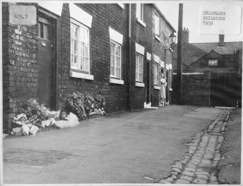
Irlams o th height
Churches
Primary schools
There are three primary schools in the district.
Public houses
There are three public houses currently on the Height. All are operated by Joseph Holt's Brewery.
The Dog and Partridge (Bolton Road) closed in recent times and was converted into the Height General Practice.
Public parks
Public library
Height Library, King Street (open daily except Wednesdays and Sundays)
Irlam family
Since the end of the 16th century there had been an inn on the (turnpike) road from Manchester and Salford towards Chorley, Preston and Lancaster etc. which was called the "Pack Horse". Indeed, the last Pack Horse was only demolished in 1975 due to a large redevelopment of the A580/A6/A666 road junction. However, during the 17th and 18th centuries the Pack Horse (of the day) was in the hands of no less than 10 members of the Irlam family, as follows.
With the Pack Horse/s being run by the Irlam family for well over a century and a half, it was no surprise that it became known locally as "Irlam's". With its location on ground higher than the rest of Pendleton, the area soon became commonly known as "The Height". Coupled with the Pack Horse being referred to as "Irlam's", the developing hamlet/village became known as "Irlam's on the Height" or, as it evolved into today's official name, "Irlams o' th' Height".