
 | ||
The Iran–Iraq boundary runs for 1,458 kilometers, from the Shatt al-Arab (known as Arvand Rud in Iran) waterway to the tripoint boundary with modern Turkey at the Kuh e-Dalanper. Although the boundary was first determined in 1639, certain disputes fester, particularly disputes surrounding navigation on the Shatt al-Arab waterway.
Contents
Boundary line
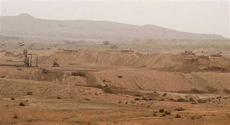
The boundary begins in the Persian Gulf at the "lowest point of low water" at the mouth of the Shatt al-Arab at 29°51′16″N 48°44′45″E (WGS84.) It then closely follows the thalweg of the Shatt al-Arab for some 105 km in a series of short straight line segments, reaching the confluence of the Shatt al-Arab and the Nahr al-Khayin tributary. From there, it winds northward, following a series of boundary markers across plain and hill, through the Zagros Mountains Nahr at-Tib, and Nahr Wadi. It meets the boundary with Turkey at 37° 08' 44" N and 44° 47' 05" E.
History
The boundary dates back to the 1639 Zuhab Treaty between the Ottoman Empire, which controlled Iraq, and Persia. The agreement stipulated that the boundary would run between the Zagros Mountains and the Tigris River. In 1724, the Ottomans rejected the boundary-line and invaded Persia, but when peace was finally concluded in 1746, the two states recognized the 1639 boundary as official. That was affirmed by the 1847 Treaty of Erzerum, but the new treaty first raised the issue of the Shatt al-Arab waterway. The boundary was set at the eastern bank of the Persian gulf so that the entire waterway remained under Turkish (Iraqi) control. In the following years, the boundary-line was further delineated, and a detailed map was produced in 1860.
A more precise demarcation was begun in 1911 at the urging of Russia and the Britain, both of whom had colonial aspirations in the region.
In 1913 and 1914, a commission established by the Constantinople Protocol set the revised boundary, with control of the Shatt al-Arab going to Turkey. In general, the line was to follow the east bank of the waterway except in the region surrounding the Persian town of Khorramshahr, where it was to follow the thalweg.
That was challenged by Iran in 1934, as the validity of both the Treaty of Erzurum and the Istanbul Protocol was called into question. The dispute was resolved in 1937, following the general lines of the old boundary, with the exception of the area immediately around the Iranian town of Abadan, where the boundary was moved from the east bank to the thalweg, as had been done around Khorramshahr two decades earlier.
While that resolved Iran's major grievances, it failed to respond to the issue of freedom of navigation in the Shatt al-Arab. Iraq finally accepted the new boundary in 1991, during the occupation of Kuwait, in accordance with United Nations Resolution 598.
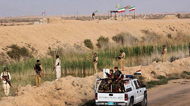
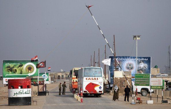
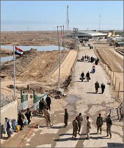
Border crossings
Border crossings are Shalamja, Mundhiriya, al-Shib, Zarbatiya, and Mandali Soomar. Additionally the Kurdistan Region has four international border crossing between Kurdistan and Iran at Haji Omaran (in Erbil Province), Parwezkhan, Bashmaq, and (from 2016) at Sayran Ban located in the town of Penjwen in Sulaimani Province.