
 | ||
Irakli Peak (Bulgarian: връх Иракли, ‘Vrah Irakli’ \'vr&h i-rak-'li) is the peak rising to 1336 m in the northwest part of Trakiya Heights on Trinity Peninsula, Antarctic Peninsula. Situated 1.43 km northeast of Antonov Peak, 3.24 km southwest of Mount Canicula, 3.87 km west-northwest of Mount Daimler and 3.56 km north-northwest of Bozveli Peak. Surmounting Russell West Glacier to the north and Russell East Glacier to the east.
Contents
Map of Irakli Peak, Antarctica
The peak is named after the Irakli nature site on the Bulgarian Black Sea coast.
Location
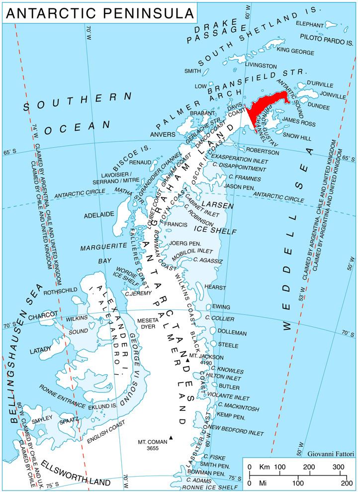
Irakli Peak is located at 63°44′08″S 58°34′14″W. German-British mapping in 1996.
Maps
References
Irakli Peak Wikipedia(Text) CC BY-SA