
Vehicle registration ΕΡ Area 448.8 km² | Time zone EET (UTC+2) Website www.dimosiraklias.gr Local time Wednesday 9:01 AM | |
 | ||
Weather 9°C, Wind N at 6 km/h, 61% Humidity | ||
Irakleia (Greek: Ηράκλεια, before 1926: Τζουμαγιά - Tzoumagia) is a municipality in the Serres regional unit, Central Macedonia, Greece. Population 21,145 (2011). The seat of the municipality is the town of Irakleia, which was formerly known as "Lower Jumaya" (in Turkish: Barakli Cuma or Cuma-i Zir ("Lower Juma" in Ottoman Turkish); in Bulgarian: Долна Джумая, Dolna Dzhumaya; and in Aromanian: Giumala de Jos).
Contents
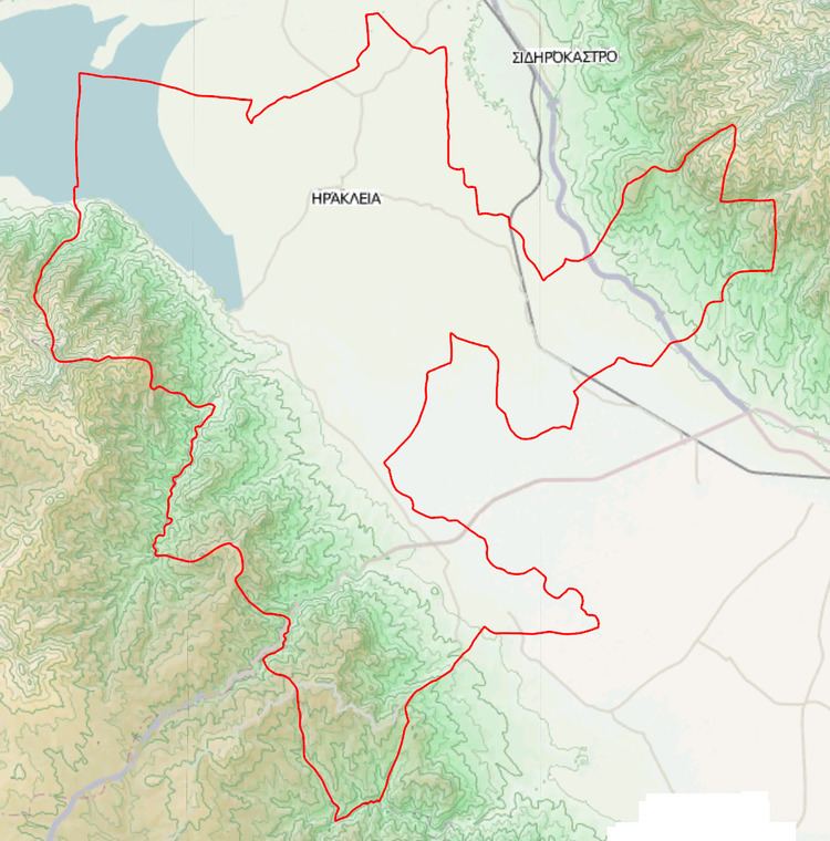
Map of Iraklia 624 00, Greece
Municipality
The municipality Irakleia was formed at the 2011 local government reform by the merger of the following 3 former municipalities, that became municipal units:
The municipality has an area of 451.499 km2, the municipal unit 195.216 km2.
References
Irakleia, Serres Wikipedia(Text) CC BY-SA