
Type Road Formerroute number State Route 15 Length 9 km | Route number(s) A7 | |
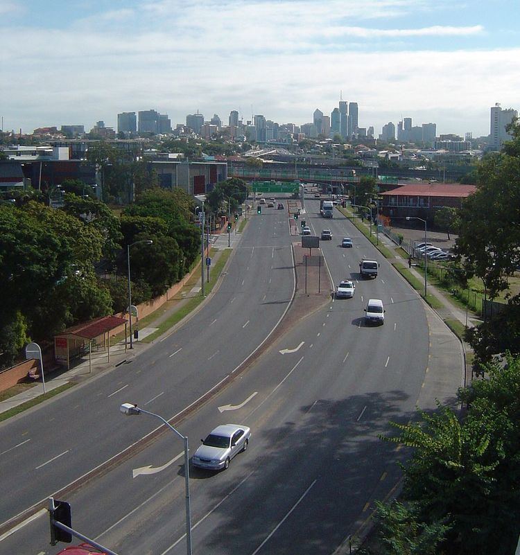 | ||
NE end Main Street, Woolloongabba | ||
Ipswich Road is one Brisbane's main roads connecting Brisbane to the nearby city of Ipswich, via the Ipswich Motorway. Ipswich Road used to be part of the Cunningham Highway. Logan Road, Pacific Motorway, and Beaudesert Road (Mount Lindesay Highway) are the other major roads in the south of Brisbane. The road was an important transport route in 19th century Brisbane.
Contents
Woolloongabba
Ipswich Road begins at the Woolloongabba Five Ways intersection. From there Ipswich Road heads south bound for Ipswich City, Main Street heads north (to the tip of Kangaroo Point), Stanley Street goes east and west and Logan Road heads south-east towards Logan City.
The heritage-listed Norman Hotel is positioned on 102 Ipswich Road at Woolloongabba. The establishment was built in 1889, opened in 1890 and quickly became a local landmark.
The Clem Jones Tunnel (Clem7) has an entry and exit point on Ipswich Road at Woolloongabba, the same place that the Pacific Motorway crosses over the road. Also in this vicinity the Eastern Busway crosses Ipswich Road.
Buranda
The Princess Alexandra Hospital is located on Ipswich Road at Buranda, as is the Buranda Shopping Centre (formerly the Ipswich Road tram depot).
Annerley
At Annerley, Ipswich Road intersects with Annerley Road (formerly Boggo Road) at the Annerley Junction.
There are a number of heritage-listed sites on Ipswich Road in Annerley. In the Annerley Junction area are:
Further along in the Chardon's Corner area (the intersection with Cracknell Road where the Chardons Hotel stands), there are more heritage-listed sites:
Yeronga
In Yeronga the road passes the heritage-listed Yeronga Memorial Park and the heritage-listed Yeronga Fire Station.
The Ipswich Road is the boundary between Annerley and Yeronga in the vicinity of the Yeronga Memorial Park (Annerley being on the east, Yeronga on the west).
Moorooka
At Moorooka the major arterial road called Beaudesert Road branches to the south east through the industrial suburbs of Salisbury, Acacia Ridge continuing on to the northern outskirts of Logan City. It is when Beaudesert Road crosses the Logan Motorway that Beaudesert Road becomes the Mount Lindesay Highway, which continues through to Logan, Jimboomba, Beaudesert and Mount Lindesay and beyond to the Queensland-New South Wales border.
South from this intersection the road is lined with numerous car sale yards and is known as the Moorooka Magic Mile of Motors.
Rocklea
At Rocklea the road becomes the upgraded Ipswich Motorway after crossing over the Beenleigh railway line.
Road traffic
At morning peak times the road can be congested anywhere from Annerley towards the city. According to the Brisbane City Council compared to 2007 rates, by 2016 the road is expected to carry an extra 12,000 cars each day. The road carried an average of 52,299 vehicles per day between July and December 2014.
Trams
The last tram service in Brisbane took route S34 along Ipswich Road into Tottenham Road and the Ipswich Road Depot on 14 April 1969.