
Area 16 km² | Town Ipatovo Local time Wednesday 8:28 AM | |
 | ||
Municipal district Ipatovsky Municipal District Weather 3°C, Wind E at 18 km/h, 84% Humidity | ||
Ipatovo (Russian: Ипа́тово) is a town and the administrative center of Ipatovsky District in Stavropol Krai, Russia, located on the Kalaus River about 120 kilometers (75 mi) northeast of Stavropol, the administrative center of the krai. Population: 26,053 (2010 Census); 28,594 (2002 Census); 26,425 (1989 Census).
Contents
Map of Ipatovo, Stavropol Krai, Russia
History
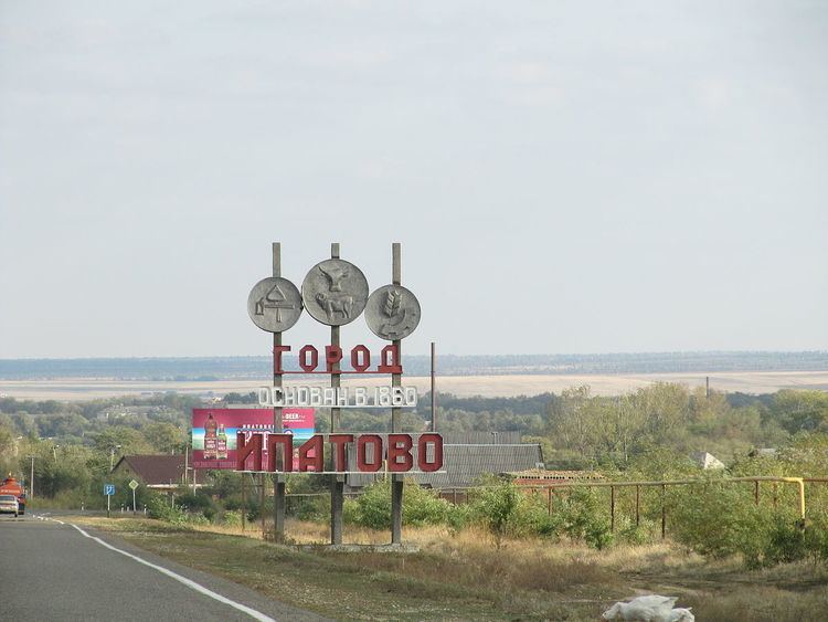
It was founded in 1860 as the settlement of Chemrek. It was later renamed Vinodelnoye (Виноде́льное, lit. winemaking) because there had been many state wine cellars. In 1935, the settlement was renamed Ipatovo in honor of Civil War hero P. M. Ipatov, who died here in 1918. Ipatovo was granted town status in 1979.
Administrative and municipal status
Within the framework of administrative divisions, Ipatovo serves as the administrative center of Ipatovsky District. As an administrative division, it is, together with three rural localities, incorporated within Ipatovsky District as the Town of Ipatovo. As a municipal division, the Town of Ipatovo is incorporated within Ipatovsky Municipal District as Ipatovo Urban Settlement.