
GNIS feature ID 0471251 Area 278.6 km² Population 44 (2000) | ZIP code 67735 Elevation 1,066 m Local time Tuesday 11:05 PM | |
 | ||
Weather 2°C, Wind SE at 21 km/h, 61% Humidity | ||
Iowa Township is one of the thirteen townships of Sherman County, Kansas, United States. The population was 44 at the 2000 census.
Contents
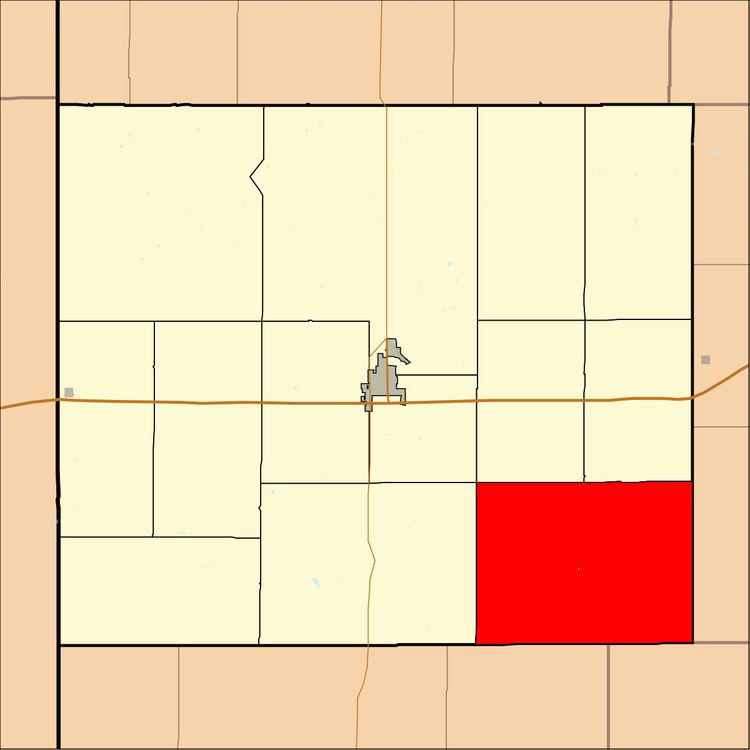
Map of Iowa, KS, USA
Geography
Located in the southeastern corner of the county, it borders the following townships:
It lies southeast of the county seat of Goodland. There are no communities in the township.
The north fork of the Smoky Hill River flows through the southwestern part of Iowa Township, and the source of the south fork of the Solomon River is located in the northeastern part of the township.
Transportation
Only local roads are located in Iowa Township.
Government
Iowa Township is currently inactive; by Kansas law, when a township becomes inactive, its powers and duties revert to the county government.
References
Iowa Township, Sherman County, Kansas Wikipedia(Text) CC BY-SA