
Country Russia | ||
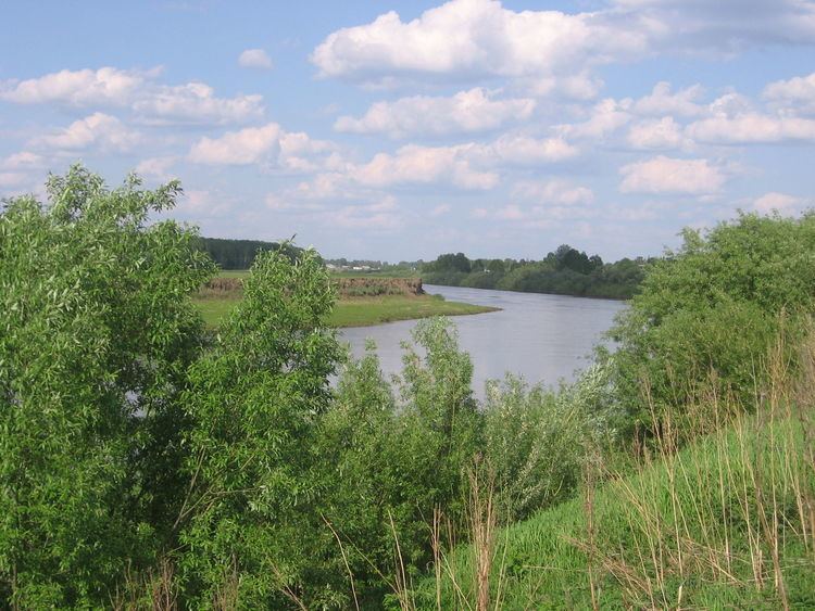 | ||
Inya (Russian: Иня́) is a river in Kemerovo and Novosibirsk Oblasts of Russia. It is a right tributary of the Ob River. It is 663 kilometres (412 mi) long, with a drainage basin of 17,600 square kilometres (6,800 sq mi).
Map of r. Inya, Russia
The Inya has its sources in a ridge in the central part of the Kuznetsk Basin, and flows through Kemerovo Olast in a mainly westerly direction, then enters Novosibirsk Oblast and finally joins the Ob River, just 5 kilometres (3 mi) southeast of downtown Novosibirsk.
At the village of Beryosovka, some 30 kilometres (19 mi) from its mouth, the river's average discharge is 470 cubic metres per second (17,000 cu ft/s). The minimum discharge in February is 8.6 cubic metres per second (300 cu ft/s), and the maximum is in May at 195 cubic metres per second (6,900 cu ft/s). Near the mouth the river is some 60 metres (200 ft) wide and 1.5 metres (4.9 ft) deep. Its main tributaries are the Kasma, Ur and Bachat.
By the Inya lies the towns of Leninsk-Kuznetsky and Toguchin. The riverflows through a rather densely populated area, and is crossed by several railway lines.
The river freezes over in the beginning of November, and stays frozen till the spring thaw starts in mid-April.