
OS grid reference NS 20675 71938 Sovereign state United Kingdom Postcode district PA16 Local time Tuesday 11:02 PM | Post town GREENOCK Dialling code 01475 | |
 | ||
Weather 8°C, Wind W at 24 km/h, 74% Humidity | ||
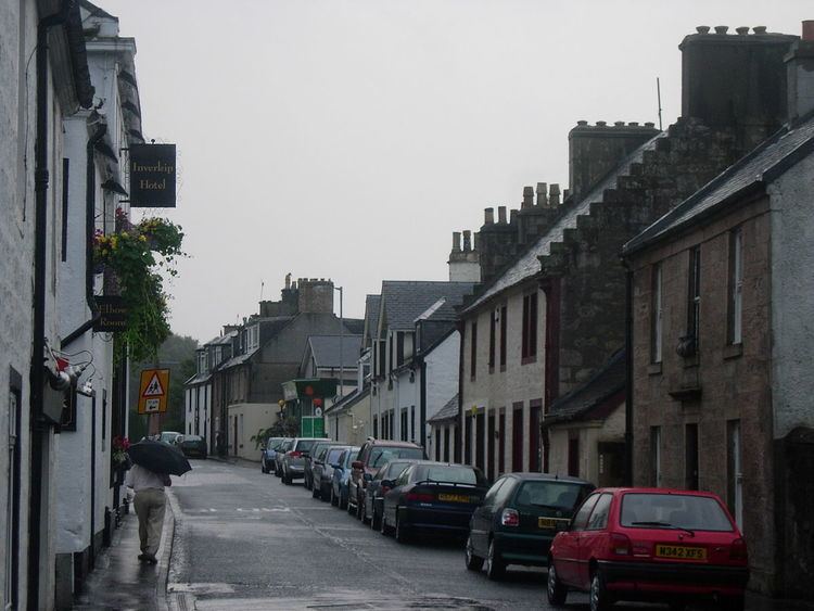
Inverkip (Scottish Gaelic: Inbhir Chip) is a village and parish falling within the Inverclyde council area and historic county of Renfrewshire in the west central Lowlands of Scotland. It lies about 4 miles (6.4 km) southwest of Greenock on the A78 trunk road. The village is served by Inverkip railway station, on the Inverclyde Line.
Contents
- Map of Inverkip UK
- Inverkip power station chimney demolition
- History
- Places of interest
- Gallery
- References
Map of Inverkip, UK
Inverkip power station chimney demolition
History
Inverkip was made a burgh of barony before the Act of Union in 1707, with the parish containing all of Gourock, Wemyss Bay, Skelmorlie and part of Greenock. Inverkip Parish Church dates from 1804 and is near the site of an earlier (twelfth century) kirk. The graveyard contains the tomb of the chemist Dr. James "Parrafin" Young who was nicknamed 'Paraffin' because of his pioneering work in oil technology. He lived at nearby Kelly House, which burnt down in 1913, the report laying blame with the suffragettes.
The parish of Inverkip's chief claim to fame (or notoriety) was in relation to witches in the mid 17th century. A local verse recalls
"In Auld Kirk the witches ride thick
And in Dunrod they dwell;
But the greatest loon amang them a'
Is Auld Dunrod himsel'."
'Auld Dunrod' was the last of the Lindsay family of Dunrod Castle. As the result of a dissolute life he lost all his possessions and fell into the black arts. Local reputation had it that he was in league with the devil, and he died in mysterious circumstances in a barn belonging to one of his former tenant farmers. Nothing now remains of the castle which stood at the foot of Dunrod Hill.
Places of interest
Today Inverkip is mainly of significance because of the large marina which has grown steadily since the 1970s and now boasts a small community of its own called Kip Village. Nearby the flue of the mothballed oil-fired Inverkip power station – another creation of the 70s – loomed large until it was demolished in July 2013.
The Greenock Cut Visitor Centre (formerly known as Cornalees Bridge Visitor Centre) is three miles (5 km) east of Inverkip and is part of Clyde Muirshiel Regional Park.
Lunderston Bay is a popular picnic spot nearby and the classical Ardgowan House, built for Sir John Shaw-Stewart in the late 18th century, stands outside the village. It occasionally has open days and charity fêtes. The late 15th century Ardgowan Castle is a ruin within the estate.
At the top of Langhouse Road a building reminiscent of the cold war can be found. The site which also used to house HMS Dalriada includes an underground bunker and a surface building. Conversion to residential use commenced in early 2011.
In Inverkip there is also a small village primary school, located on Station Road. It has around 290 pupils (including a pre-5 nursery) with capacity for 320.
Inverkip is mainly a residential village and does not boast a huge number of businesses. A sub post office is located within the pharmacy in what was (until 2010) the general store on Main Street, plus a retail and business block, named Kip Park, located to the north side of the village comprising a cafe', fast food outlet, supermarket and a private nursery. A hotel is also present in Inverkip, as well as a B&B.
Inverkip is good for travelling as it is not far away from other attractions such as the shopping mall in Greenock and the Esplanade in Largs.