
Main source Upper Kama Upland Basin size 5,920 km (2,290 sq mi) Source Upper Kama Upland Country Russia | River mouth Kama River Length 257 km Mouth Kamadeva | |
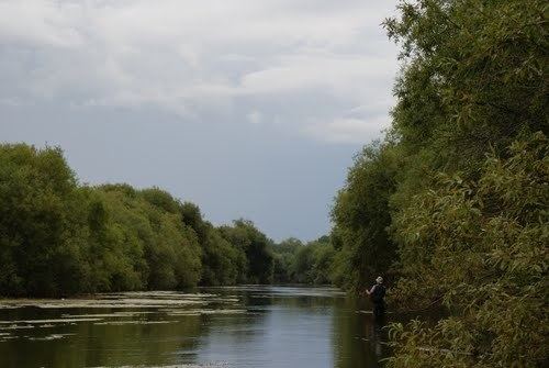 | ||
Inva (Russian: Иньва) – is a river in Perm Krai, Russia. It begins in the Upper Kama Upland near the border of Kirov oblast. Then, it flows through Komi-Permyak Okrug and into Kama Reservoir, forming Invensky Bay.
Contents
Map of r. Inva, Permskiy Kray, Russia
The river is 252 kilometres (157 mi) long with a drainage basin of 5,920 square kilometres (2,290 sq mi). It is frozen from early November to late April. The town of Kudymkar is along the Inva River.
The main tributaries are Velva and Kuva (left), Yusva (right).
Etymology
The name of the river is formed from the Komi-Permyak words “инь” (woman) and “ва” (water), which can be translated as “female water”.
References
Inva River Wikipedia(Text) CC BY-SA