
Existed: Late 1950s – present | Length 106.6 km | |
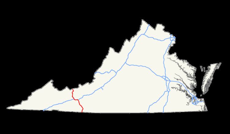 | ||
South end: I‑74 / I‑77 near Mount Airy, NC North end: I‑77 / US 52 near Bluefield, WV | ||
In the U.S. state of Virginia, Interstate 77 is a north–south highway along the U.S. Route 52 corridor, serving Hillsville, Wytheville, and Bland. Along I-77's 67-mile (108 km) length in Virginia, it passes through the Big Walker Mountain Tunnel and East River Mountain Tunnel, the latter on the West Virginia state line and one of only two land vehicular tunnels to cross a state line.
Route description
Within Virginia, the milepost count begins from the south at the North Carolina border and ends at the West Virginia border.
For eight miles (13 km) in the Wytheville area, Interstate 77 and Interstate 81 share the same roadway and form a wrong-way concurrency. Interstate 77 north is signed with Interstate 81 south and vice versa.
The southernmost 7 miles involve a steep grade, up for northbound and down for southbound traffic. The southbound side has 2 runaway truck ramps. The lower end of the grade coincides with the North Carolina border, where the road exits the Appalachian Mountain region and levels out.
The entire length of I-77 in Virginia is also part of the proposed Interstate 74.
I-77 crosses the following mountains: