
Existed: 1956 – present Constructed 1956 | Length 209.9 km | |
 | ||
Major cities | ||
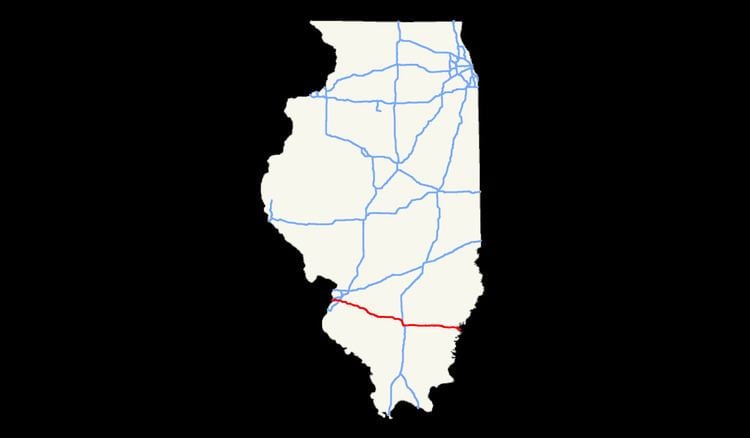
Interstate 64 (I-64) in the U.S. state of Illinois is a major east–west Interstate highway that runs from the St. Louis, Missouri, metropolitan area east to the Indiana state line near Grayville, Illinois. It travels a distance of 130.4 miles (209.9 km).
Route description
I-64 enters Illinois running concurrently with I–55 and U.S. Route 40 (US 40) over the Mississippi River on the Poplar Street Bridge. After splitting from these highways in East St. Louis, I-64 turns southeasterly and runs through St. Clair, Clinton, Washington, and Jefferson counties through a rural part of Illinois with no major cities or intersections. The only major intersection outside of St. Louis is a short concurrency with I-57 near Mount Vernon. Past this, the Interstate enters another rural stretch through parts of Jefferson, Wayne, and White counties before crossing the Wabash River into Indiana.