
Existed: 1969 – present Constructed 1969 | Length 10.2 km | |
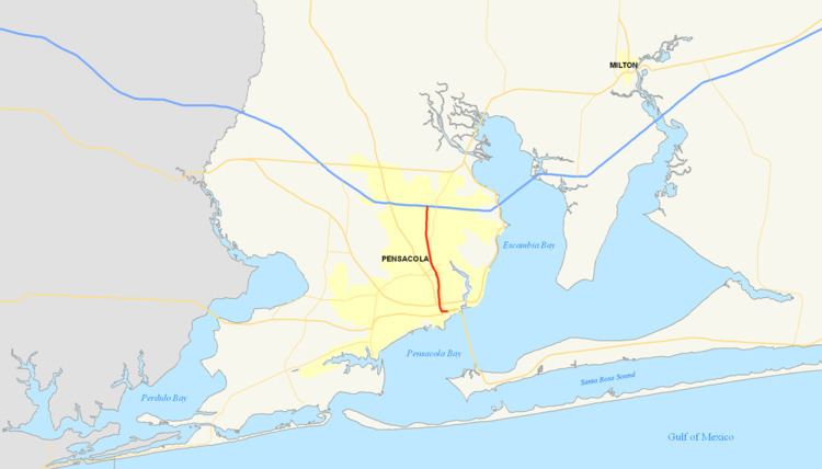 | ||
South end: US 98 Bus. in Pensacola | ||
Interstate 110 (I-110) is a 6.341-mile (10.205 km) auxiliary route of the Interstate Highway System in Pensacola, Florida, running north from U.S. Highway 98 to Interstate 10. I-110 carries the hidden Florida Department of Transportation designation of State Road 8A. It is also known as the Reubin O'Donovan Askew Parkway, in honor of the former governor of Florida who was also a Pensacola native.
Contents
Map of I-110, Pensacola, FL, USA
Route description
Since its completion, Interstate 110 has consisted of six interchanges. Unlike most Florida interstates, it retained its sequential exit numbering system when most other interstates switched to a mile-log system. At the south end is Exit 1, a directional T interchange that connects the freeway with Garden, Chase and Gregory Streets. Exit 2 links I-110 to U.S. Highway 90/98, also known as Cervantes Street. There are only southbound exit and northbound entrance ramps at this interchange. This same ramp configuration can be found just to the north at Exit 3, an interchange with Maxwell and Jordan Streets.
Past Exit 3, where the elevated freeway returns to ground level, there are two modified diamond interchanges. The first is Exit 4, leading to Fairfield Drive (State Road 295). The northbound ramps at Exit 4 have been moved entirely to the southeast quadrant of the intersection and directly connect to Davis Highway (State Road 291) just south of Fairfield Drive. Approximately 1.5 miles to the north is Exit 5, an interchange with Brent Lane (State Road 296) and Airport Boulevard. Originally, north of Exit 5 was an overpass for State Road 742 along Burgess Road. However, between 2004 and 2006, SR 742 was rerouted along a new wider overpass at Creighton Road and the old Burgess Road overpass was demolished.
Interstate 110's northern terminus is at Interstate 10. There is a combination trumpet-directional T interchange at this location that is in close proximity to the I-10 interchange with Davis Highway to the east.
History
The portion of I-110 north of Maxwell Street was completed in 1969 as a four-lane, at-grade freeway. In 1978, the portion from Maxwell Street south to its current terminus at Garden and Chase Streets was opened to traffic. This portion is a four-lane, elevated freeway for its entire length.
Construction of the elevated portion of Interstate 110 caused controversy in that it threatened several historic landmarks. The freeway eliminated over 30 blocks of dense existing development including the popular Dairy Bar ice cream shop and a centuries-old live oak. A portion of the freeway also directly abuts St. Michael's Cemetery, which houses graves as old as the 18th century.
Between 2004 and 2009, Interstate 110 was fully rebuilt and expanded to six lanes from Interstate 10 south to Maxwell Street. Reconstruction of the freeway also added access to and from Airport Boulevard via a modification of the existing Brent Lane interchange.
Future
Plans to extend Interstate 110 north from Interstate 10 to U.S. Route 90 Alternate (Nine Mile Road), and possibly even as far as Interstate 65 in southwestern Alabama, were discussed in the 1990s. Political and financial hurdles, however, have stalled serious consideration of the project.
Exit list
The entire route is in Escambia County.