
 | ||
The International Map of the World (also called the Millionth Map, after its scale of 1:1000000) was a project begun in 1913 to create a complete map of the world according to internationally agreed standards. Roads were depicted in red, towns and railways were depicted in black, and the labels were written in the Roman alphabet. The map was the brainchild of Albrecht Penck, a German geographer who first proposed it in 1891.
The Central Bureau of the Map of the World was established at the Ordnance Survey in London. After the Second World War, the United Nations took over the project. By 1953 only 400 of about 1000 sheets had been produced; though this covered most of the land surface outside North America, many sheets were decades out of date, and almost none of the open ocean was covered. In 1964, Arthur H. Robinson dismissed the IMW as "cartographic wallpaper" of no practical use. There were few updates thereafter, and in 1989, UNESCO declared the project was no longer feasible and stopped monitoring it.
Map indexing system
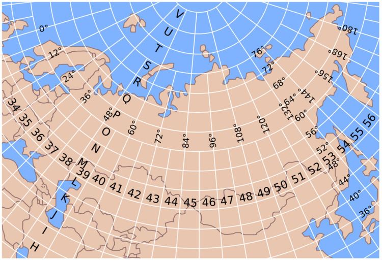
A map indexing system was developed for dividing the globe into sections spanning six degrees of longitude by four degrees latitude. Longitudinal slices are numbered 1 (180-174°West) through 60 (174-180°East). Latitudinal slices are named NA (0-4°North) through NV (84-88°North) and SA (0-4°South) through SV (84-88°South). For example
Due to shortening of longitudinal distances with increasing latitude, longitudinal span beyond 60 degrees latitude doubles to twelve degrees. Beyond 76 degrees it doubles again to 24 degrees.
This indexing system outlived the international project and is still used in national and international mapping programs by Australia, Russia and the United States.