
 | ||
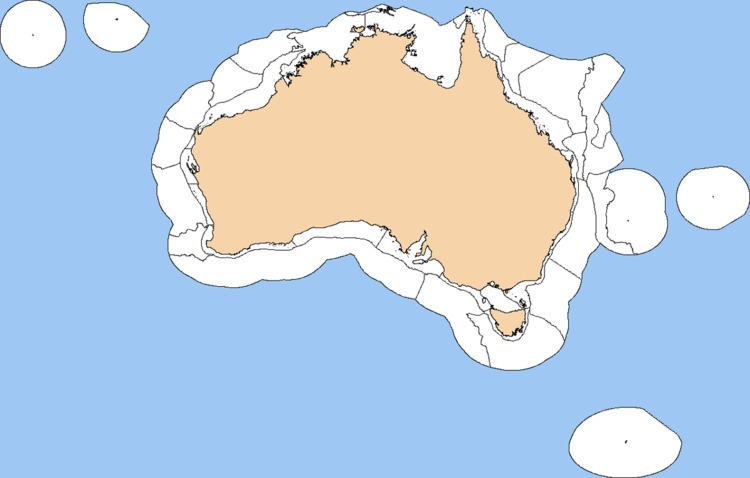
The Integrated Marine and Coastal Regionalisation of Australia (IMCRA), formerly the Interim Marine and Coastal Regionalisation for Australia, is a biogeographic regionalisation of the oceanic waters of Australia's Exclusive Economic Zone (EEZ). As of 2008, the most recent version is IMCRA Version 4.0.
IMCRA actually defines two bioregionalisations: a benthic bioregionalisation, based on biogeography of fish together with geophysical data; and a pelagic bioregionalisation, base on oceanographic characteristics.
The benthic bioregionalisation incorporates three separate regionalisations:
- A regionalisation of the EEZ into provincial bioregions, based on the biogeography of bottom dwelling fishes. In IMCRA 4.0, 41 provincial bioregions, consisting of 24 provinces and 17 transitions.
- A regionalisation of the continental shelf into meso-scale regions based on biological and physical characters, and the distance from the coast. In IMCRA 4.0 there are 60 meso-scale regions.
- A regionalisation of the EEZ into 14 geomorphic units, formed by grouping the 1,134 geomorphic units defined by Geoscience Australia.
The pelagic bioregionalisation divides the continental shelf into four provincial bioregions based on pelagic fish species biodiversity and richness. Offshore waters are divided into three-dimensional water masses, taking into account water properties, circulation patterns and energetics.
List of provincial bioregions
This is a list of IMCRA 4.0 provincial bioregions: