
Established 1997 Website www.ideg.cat | Acronym IG Phone +34 935 56 92 80 Founded 1997 | |
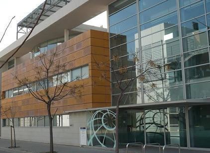 | ||
Director Ismael Colomina i Fosch Address Av. Carl Friedrich Gauss, 11, Parc Mediterrani de la Tecnología, 08860 Castelldefels, Barcelona, Spain | ||
The Institute of Geomatics (IG) was a public consortium made up of the Autonomous Government of Catalonia (Ministry of Territory and Sustainability, and the Ministry of Economy and Knowledge) and the Polytechnic University of Catalonia, created by Decree Law 256/1997 of the Autonomous Government of Catalonia, on September 30, 1997. It was a founding member of the Associació Catalana d'Entitats de Recerca (ACER).
Contents
The Institute of Geomatics was dissolved on December, 31st 2013, following the Government Agreement of Dissolution signed on December, 23rd 2013. The Institute, including personnel, equipment and developments, was integrated as the Geomatics division of the Centre Tecnològic de Telecomunicacions de Catalunya.
Activities
The Institute's mission was the "promotion and development of Geomatics, through applied research and teaching, for the benefit of society".
Within the framework defined by its mission, the institute mainly conducted the following activities:
Vision on Research
The Institute of Geomatics was a public non-profit research center. Since 1999 it worked intensively on research, knowledge transfer and dissemination of geomatic science and technology.
Geomatics is a modern scientific term that refers to a variety of techniques that integrate [[sensor]s] capturing data and images (mainly cameras, but also from other remote sensors) with methods for the treatment, analysis, interpretation, diffusion and storage of geographic information.
Geomatics connects various traditional disciplines, like geodesy or cartography with more recently developed fields like remote sensing, satellite navigation and latest information and communication technologies. As a result, geomatics allows us today to obtain information about the Earth and its atmosphere globally and within very short time.
The Institute centered its activities around two main areas: the area of positioning and navigation, focused on techniques to improve precision, and the area of remote sensing, which means Earth observation through images and data collected by sensors on-board of satellites, aircraft and ground platforms.
More specifically, the IG research lines entailed:
The IG participated in a wide portfolio of research projects, covering areas such as cartography, topography, search-and-rescue, civil engineering, agriculture, mobile mapping, location-based services, unmanned aerial vehicles, and many others.