
Admin. Center Innvik Local time Monday 10:58 AM | Area 511 km² | |
 | ||
Weather 8°C, Wind S at 14 km/h, 59% Humidity | ||
Innvik is a former municipality in Sogn og Fjordane county in Norway. Innvik is located in the present-day Stryn Municipality, encompassing about the western third of the present municipality. Innvik included both sides of the Nordfjorden, from Randabygda in the west to just west of the village of Stryn. It stretched from the border with Hornindal Municipality in the north, through the Oldedalen valley all the way to the Jostedalsbreen glacier in the south.
Contents
Map of 6793 Innvik, Norway
Name
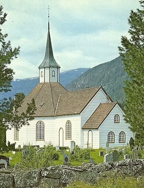
The name comes from the old Innvik farm (Old Norse: Víkr), since Innvik Church is located there. The old name is identical with the word vík which means "inlet". Over time, the prefix inn- (meaning "inner") was added to distinguish the area from nearby Utvik (meaning "outer" Vik). The name Indvigen or the more modern spelling Innvik has been in use since the 15th century.
History
The municipality was established as Indvigen formannskapsdistrikt on 1 January 1838. In 1843, the eastern part of the municipality was separated from Innvik to form the new Stryn Municipality, leaving Innvik with 2,675 inhabitants. On 1 October 1922, the Raksgrenda area (between the villages of Loen and Stryn), with 120 inhabitants, was administratively transferred from Innvik to Stryn. On 1 January 1965, Innvik Municipality and neighboring Stryn Municipality were merged back together, creating a much larger municipality named Stryn. Prior to the merger, Innvik municipality had 3,003 inhabitants.