
Easiest route Scrambling | Elevation 1,452 m | |
 | ||
Topo map 1420 I Snota and 1420 II Romfo Similar Skarfjellet, Trolla, Såtbakkollen, Dronningkrona, Snota | ||
Innerdalst rnet bl fjell drone and gopro photage
Innerdalstårnet or Dalatårnet is a 1,452-metre (4,764 ft) tall mountain on the south side of the Innerdalen valley in Sunndal Municipality in Møre og Romsdal county, Norway. It is located about 15 kilometres (9.3 mi) southeast of the village of Ålvundeid. The mountain is also known as the Matterhorn of Norway for its characteristic pyramidal shape.
Contents
- Innerdalst rnet bl fjell drone and gopro photage
- Map of InnerdalstC3A5rnet 6620 C385lvundeid Norway
- References
Map of Innerdalst%C3%A5rnet, 6620 %C3%85lvundeid, Norway
The summit can be reached with some scrambling, and the mountain is a very popular destination for rock climbing, several routes are established up the mountain.
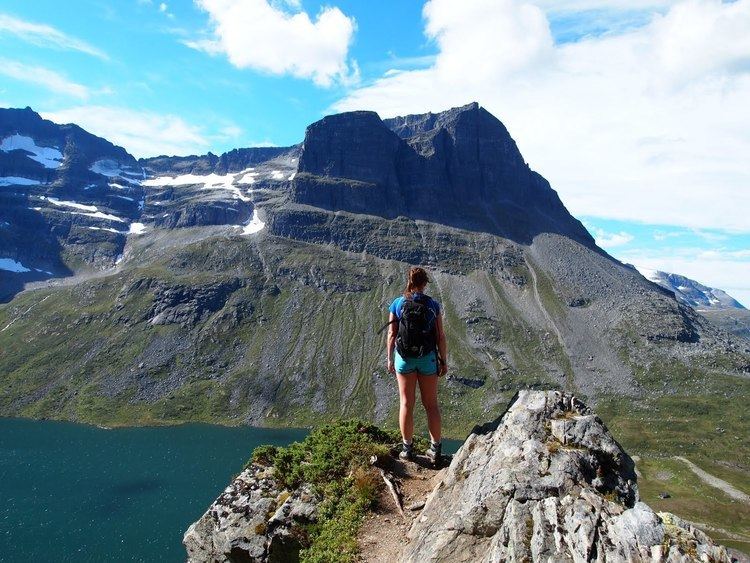
The northern sub-peak, Litle Innerdalstårnet (seen in the picture) is slightly more inaccessible. Directly south of Innerdalstårnet are the mountains Tårnfjellet and Såtbakkollen, which is the second highest in Trollheimen. The mountain Skarfjellet lies just to the west on the other side of the lake Storvatnet.