
Total islands 1 Length 2 km (1.2 mi) Elevation 2 m Postal code 744202 | Major islands Inglis Width 1.6 km (0.99 mi) Area 166 ha Area code 031927 | |
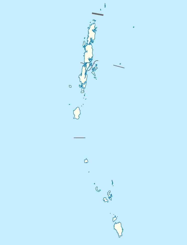 | ||
Inglis Island is an island of the Andaman Islands. It belongs to the South Andaman administrative district, part of the Indian union territory of Andaman and Nicobar Islands. the island is lying 67 km (42 mi) northeast from Port Blair.
Contents
Etymology
Inglis island is named after Major-general Sir John Eardley Wilmot Inglis.
Geography
The island belongs to the Ritchie's Archipelago and is located west of John Lawrence Island. Chain Nalah point is a popular tourist beach located on the island's west coast. it has some picnic tables on it.
Administration
Politically, Inglis Island is part of Port Blair Taluk.
Demographics
The island is uninhabited.
References
Inglis Island (Ritchie's Archipelago) Wikipedia(Text) CC BY-SA