
First documents 1335 Climate Dfb Local time Monday 7:52 AM | Time zone EET (UTC+2) Municipal tax rate 20.8% | |
 | ||
Weather 1°C, Wind SW at 27 km/h, 93% Humidity Area 349.9 km² (349.8 km² Land / 604.2 km² Water) | ||
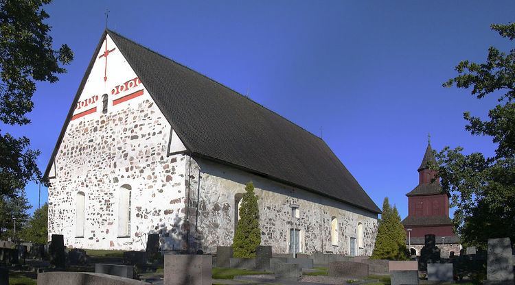
Ingå ([ˈiŋo]; Finnish: Inkoo) is a municipality of Finland.
Contents
Map of 10210 Ing%C3%A5, Finland
Ingå is located in the province of Southern Finland and is part of the Uusimaa region. The municipality has a population of 5,549 (31 March 2016) and covers an area of 349.89 square kilometres (135.09 sq mi) of which 604.21 km2 (233.29 sq mi) is water. The population density is 15.86 inhabitants per square kilometre (41.1/sq mi).
The municipality is bilingual, with majority being Swedish and minority Finnish speakers.
Finnish national road 51 goes right through the southern part of Ingå.
The centre consists mainly of the road Bollstavägen that cuts through the Ingå centrum. Along the road are most of the major buildings and shops of the small municipality. A few grocery stores, small kiosk, library and a bar. Towards the Road 51 there is the residential area. Near road 51, at the northern tip of the residential area is the Ingå Volunteer Rescue Company. Nearby villages include Kusans.
Politics
Results of the Finnish parliamentary election, 2011 in Ingå: