
Country United States ZIP code 56623 or 56629 Elevation 337 m | Time zone Central (CST) (UTC-6) Area code(s) 218 Local time Sunday 12:57 PM | |
 | ||
Weather -9°C, Wind E at 10 km/h, 37% Humidity | ||
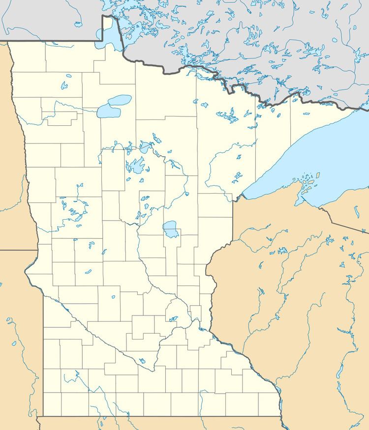
Indus is an unincorporated community in Koochiching County, Minnesota, United States.
Contents
Map of Indus, MN 56623, USA
The community is located between International Falls and Baudette on State Highway 11 (MN 11).
Indus is located within Northwest Koochiching Unorganized Territory.
County Road 83, Town Road 297, and the Rainy River are all in the vicinity.
Nearby places include Birchdale, Loman, and Emo. Indus is located 30 miles west of International Falls; and 38 miles east of Baudette.
History
A post office called Indus was established in 1902, and remained in operation until 1974. The community was named after the Indus River in Asia.
References
Indus, Minnesota Wikipedia(Text) CC BY-SA