
Country India Time zone IST (UTC+5:30) Elevation 4 m | State Andhra Pradesh Vehicle registration AP Local time Sunday 11:10 PM | |
 | ||
Weather 28°C, Wind SE at 10 km/h, 84% Humidity | ||
Indukurpeta is a village and a mandal in Nellore district in the state of Andhra Pradesh in India. It is surrounded by beautiful paddy fields, sugarcane farms and fresh water aqua ponds. It is surrounded by Bay of Bengal on the east. At a distance of some 7–8 km is Mypadu beach, an undiscovered and undeveloped beach. The long stretch of the beach is beautiful to see and is a must to visit when at this place.
Contents
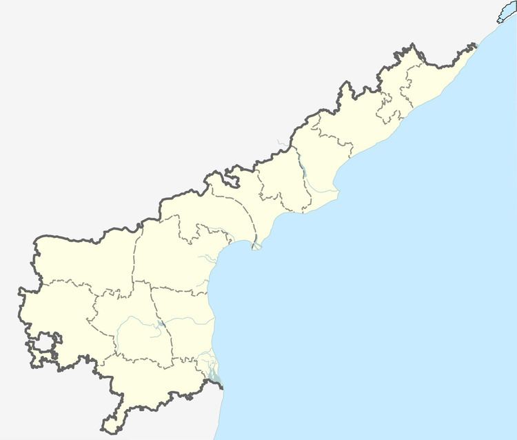
Map of Indukurpet, Andhra Pradesh 524314
Geography
Indukurpet is located at 14.4500°N 80.1333°E / 14.4500; 80.1333. It has an average elevation of 4 meters (16 feet).
References
Indukurupeta Wikipedia(Text) CC BY-SA