
 | ||
Similar Dhauladhar, Kareri Lake, Kangra Valley, Kangra Fort, Manimahesh Kailash Peak | ||
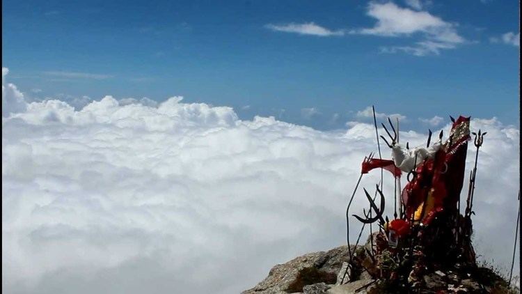
Triund snowline cafe lahesh cave indrahar pass indrahar top trek expedition 3
Indrahar (इन्द्रहार) Pass is a mountain pass in the Dhauladhar range of the Himalayas. Located at 32°17.852′N 76°22.872′E and an altitude of 4,342 metres (14,245 ft) above mean sea level, near the tourist town of Dharamshala in Himachal Pradesh, Indrahar pass forms the border between Kangra and Chamba districts. It is part of a very popular trekking route from Dharamshala. It attracts substantial tourist traffic during the trekking season between April–October.
Contents
- Triund snowline cafe lahesh cave indrahar pass indrahar top trek expedition 3
- Map of Indrahar Pass Dhar Alangari Himachal Pradesh 176219
- Indrahar pass trek triund snowline cafe lahesh caves aftermovie
- Indrahar Pass Trail
- References
Map of Indrahar Pass, Dhar Alangari, Himachal Pradesh 176219
Indrahar pass trek triund snowline cafe lahesh caves aftermovie
Indrahar Pass Trail
The trekking trail to Indrahar pass starts from Galu Devi temple above Dharamkot village near Dharamsala and passes through the camping ground of Triund, Ilaqua/Laka Got, and Lahesh Caves.
On the other side of the pass, the camping sites include Chhata caves at 3242 metres and Kuarsi village in Chamba at 2260 metres.
The trek starts from McLeod Ganj and continues as follows: