
 | ||
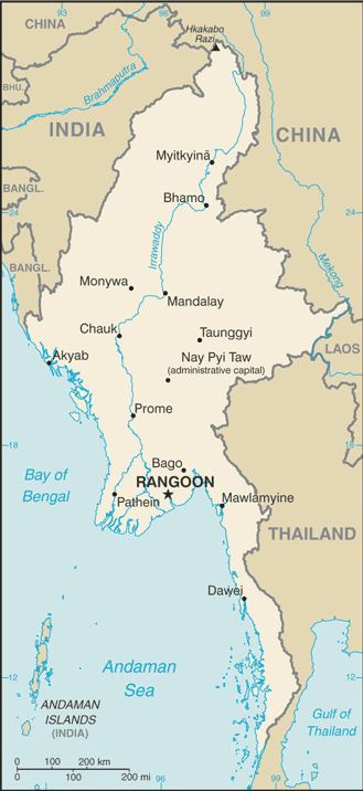
The Indo–Burma barrier is a border barrier that India is constructing to seal its 1,624-kilometer (1,009 mi)-long border with Burma. India hopes to curtail cross-border crime, including goods, arms and counterfeit Indian currency smuggling, drug trafficking, and insurgency. The United Nations Drug Control Programme (UNDCP) and International Narcotics Control Board (INCB) also warned about the poor state of border security facilities stating that the region could become a major transit point for illicit drugs. During the years 2001-2003, Indian security forces blamed the porous border for 200 security personnel and civilian deaths in militancy-related violence in the region. Four Northeast Indian states share the border with Burma: Arunachal Pradesh, Nagaland, Mizoram and Manipur. Both governments agreed to conduct a joint survey before erecting the fence. The Indian Home Ministry and its Burmese counterpart completed the survey within six months and in March 2003 began erecting a fence along the border.
Contents
Local protests
In 2004, fencing work in the state of Manipur along the border was stalled due to protests raised by the local Kuki, and Naga communities. According to them, a huge stretch of land would become Burma’s territory and foment unrest among people living on both sides of the border. The protests from people living in the Moreh, Chorokhunou, and Molchan areas forced the Home Ministry to refer the matter to the Manipur government.
This fence will divide many ethnic communities, including the Lushei, Nagas, Chins, and Kukis whose lands straddle the regions between the two states. It is thus a highly sensitive issue.
In 2007 it was reported that in the state of Manipur, a boundary dispute arose with ownership of nine border pillars being disputed.
Border Crossings
India-Myanmar border has the Free Movement Regime (FMR) which allows the tribes living along the border to travel 16-km across the boundary without visa restrictions. There are over 250 villages with over 300,000 people living within 10 km of the border who frequently cross the border through 150 small and large, formal and informal, border crossings.