
Length 610 m | Counties: Marion | |
 | ||
South end: Girls School Road in Indianapolis | ||
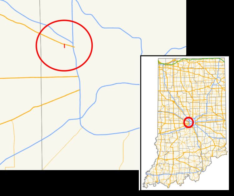
State Road 134 is a very short north–south state road in Marion County.
Contents
Map of IN-134, Indianapolis, IN 46214, USA
Route description
State Road 134 begins at the Indiana Women's Prison and directly runs north to U.S. Route 136 (Crawfordsville Road), a distance of 0.37 miles (0.60 km).
History
State Road 134 used to encompass almost all of Girls School Road on the west side of Indianapolis. Its southern terminus was at U.S. Route 40/West Washington Street, north of the Indianapolis International Airport. The state road used to be over 4 miles (6.4 km) long. However, it was truncated to only the portion east of the Indiana Women's Prison (formerly the Indiana Girls' School and the namesake of the road).
Major intersections
The entire route is in Indianapolis, Marion County.
References
Indiana State Road 134 Wikipedia(Text) CC BY-SA