
- elevation 487 m (1,598 ft) | - elevation 333 m (1,093 ft) | |
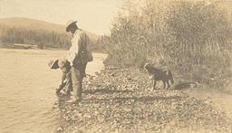 | ||
The Indian River is a river in Yukon, Canada. It is in the Bering Sea drainage basin and is a right tributary of the Yukon River.
Contents
Map of Indian River, Yukon, Unorganized, Yukon, Canada
Course
For a map showing the river course, see this reference.
The river begins at the confluence of Australia Creek, Dominion Creek, Scribner Creek and Wounded Moose Creek, about 5 kilometres (3.1 mi) southwest of the settlement of Dominion. It flows northwest, then turns west to reach its mouth at the Yukon River.
Geology
The river is a gravel-bed stream located south of Dawson City. It lies on the Klondike Plateau, and forms the southern boundary of the Yukon placer gold district. Indian River and its tributaries are the largest gold producers in the Yukon. In 2001, the river produced 119,999 grams (4,232.8 oz) of gold. In 2008, Klondike Star Mineral Corporation announced plans to further develop the gold resources of the river.