
County Lawrence Elevation 197 m Local time Sunday 1:59 AM | GNIS feature ID 0453425 Area 98.7 km² Population 2,775 (2010) | |
 | ||
ZIP codes 47421, 47451, 47462, 47470 Weather -3°C, Wind N at 5 km/h, 47% Humidity | ||
Indian Creek Township is one of nine townships in Lawrence County, Indiana, United States. As of the 2010 census, its population was 2,775 and it contained 1,176 housing units.
Contents
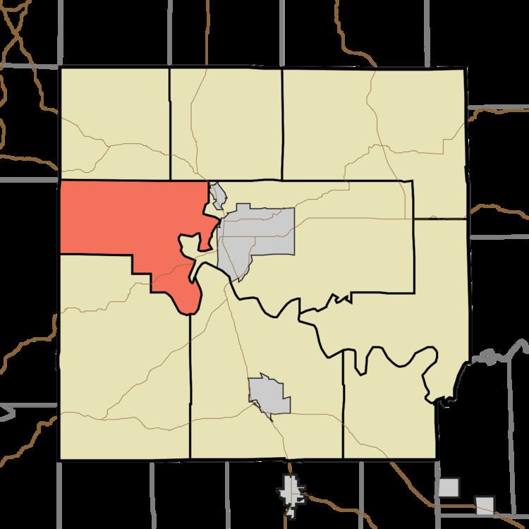
- Map of Indian Creek Township IN USA
- History
- Geography
- Cities towns villages
- Unincorporated towns
- Cemeteries
- Major highways
- School districts
- Fire Department
- Political districts
- References
Map of Indian Creek Township, IN, USA
History
Indian Creek Township takes its name from a stream in its northwestern portion. The township was one of the original five townships in Lawrence County, however, the township is much smaller than it used to be.
Geography
According to the 2010 census, the township has a total area of 38.11 square miles (98.7 km2), of which 37.98 square miles (98.4 km2) (or 99.66%) is land and 0.13 square miles (0.34 km2) (or 0.34%) is water.
Cities, towns, villages
Unincorporated towns
(This list is based on USGS data and may include former settlements.)
Cemeteries
The township contains these six cemeteries: Boone, Bridge, Ferguson, Old Union Church, Pleasant Hill and Waggner.
Major highways
School districts
Fire Department
Indian Creek Township is protected by the Indian Creek Volunteer Fire Department (ICVFD). The department's 23 members respond to all types of emergencies, including, but not limited to, fire and medical calls, and are often dispatched as medical first responders when an ambulance is dispatched to the township from the nearby City of Bedford. The department responded to 234 calls in 2012, a record high for the department. ICVFD has mutual aid agreements with all other volunteer fire departments in Lawrence County.
The Indian Creek VFD Station is located in Fayetteville at 38.86103°N 86.59490°W / 38.86103; -86.59490.