
County Lawrence ZIP code 47421 Elevation 186 m | State Indiana FIPS code 18-22900 Local time Thursday 10:34 PM | |
 | ||
Weather 9°C, Wind NE at 18 km/h, 65% Humidity | ||
Fayetteville is an unincorporated community in Indian Creek Township, Lawrence County, in the U.S. state of Indiana.
Contents
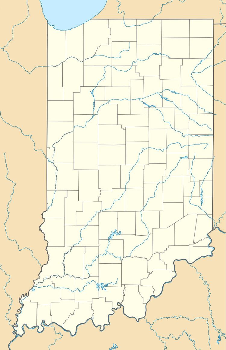
Map of Fayetteville, IN 47421, USA
History
Fayetteville was platted on February 6, 1838 by Ezra Kern. The community was likely named in honor of John Fayette, a pioneer. In 1874, Fayetteville was expanded by Ezra's grandson, Noah. A post office was established at Fayetteville in 1846, and remained in operation until it was discontinued in 1907.
The area experienced its strongest tornado on March 8, 2009. A confirmed EF3 tornado touched down in Fayetteville, destroying three houses and damaging at least 19 others. Several barns and other structures were also damaged or destroyed.
Fire department
Fayetteville, and the surrounding township, is protected by the Indian Creek Volunteer Fire Department (ICVFD). The department's 23 members respond to all types of emergencies, including, but not limited to, fire and medical calls, and are often dispatched as medical first responders when an ambulance is dispatched to the township from the nearby City of Bedford. The department responded to 234 calls in 2012, a record high for the department. ICVFD has mutual aid agreements with all other volunteer fire departments in Lawrence County.
The Indian Creek VFD Station is located in Fayetteville at 38.86103°N 86.59490°W / 38.86103; -86.59490.
Geography
Fayetteville is located at 38°51′39″N 86°35′43″W.