
Postal code (street) 0717 Local time Sunday 4:43 AM | PO box 0717 Area code 015 | |
 | ||
Weather 16°C, Wind NW at 3 km/h, 82% Humidity | ||
ced and
Contents
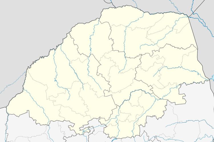
Map of Indermark, South Africa
Indermark (also known as "'Ga-Letlalo'") is a village in the Capricorn District Municipality in the Limpopo province of South Africa. The village is situated in the Blouberg Local Municipality.
The settlement is approximately 89 km north-west of Polokwane, on the route to Vivo.
Railways
Indermark is not connected to any railway but people want to connect in order to transport food to Johannesburg and other major centres via rail. Agricultural produce in the area, including tomatoes,bananas and avocados, is also transported via freight rail.
Media
The South African Broadcasting Corporation has neglected the people on the demand for branch located in the village.
The South African census showed the population of Village City as 53,028 with 33,84 households in the 2011 census.