
Length 2,600 m (8,500 ft) | Majorjunctions 18 | |
 | ||
Addresses 4 Business-Center "Kyiv"11 Hausvald Building27A Regional Music-Drama Theater48 Prykarpattransgaz west end Viche MaidanHalych Street | ||
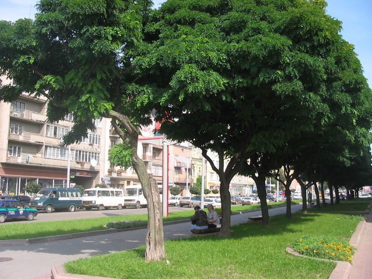
Independence Street (Ukrainian: Вулиця Незалежності, vulytsia Nezalezhnosti) is considered the central street of Ivano-Frankivsk. It runs from west to east and passes the original city's center 250–300 meters south from it. Starting at the west side of the Viche Maidan what is known as the Halych Street Independence Street makes its way along the old Tysmenytsia road east to Bystrytsia river, passing which it changes its name to Tysmenytsia Street running through the city's suburbs towards the city of Tysmenytsia.
Contents
- Map of D0B2D183D0BBD0B8D186D18F D09DD0B5D0B7D0B0D0BBD0B5D0B6D0BDD0BED181D182D196 Krykhivtsi Ivano Frankivska oblast Ukraine
- Brief history
- Architectural monuments
- Cultural sights
- List of intersecting streets
- References
Map of %D0%B2%D1%83%D0%BB%D0%B8%D1%86%D1%8F %D0%9D%D0%B5%D0%B7%D0%B0%D0%BB%D0%B5%D0%B6%D0%BD%D0%BE%D1%81%D1%82%D1%96, Krykhivtsi, Ivano-Frankivs'ka oblast, Ukraine
Brief history
The street is not the oldest in the city and was formed after the dissembling of the city's fortifications at the end of 18th century. The street began to gain its importance with establishment of railroad through the city around the 1860s, which was passing the old Stanislawow on the north-eastern side running from the north to the south-east. Until 1869 the street, unknown whether officially or not, was simply referred to as Tysmenytsia Road. On July 1, 1869 at the 300 Anniversary of the Union of Lublin the street was officially renamed into Leon Sapieha Street (Ulica Sapiezinskogo) after Leon Sapieha, a renown Polish parliamentarian. That name the street carried almost until the Soviet invasion in 1939. It was during that time that Independence Street was becoming the central street of the city. With the establishment of the West Ukrainian People's Republic in the region (1918-1922), the name of the street changed to Shevchenko Street (1919-1922) after Taras Shevchenko. With the establishment of the Soviet regime and until 1993 with the displacing the city's Lenin monument the street was called Soviet.