
Country United States County Saint Louis ZIP code 55779 Local time Saturday 6:44 PM | State Minnesota Time zone Central (CST) (UTC-6) Elevation 397 m | |
 | ||
Weather -9°C, Wind N at 11 km/h, 32% Humidity | ||
Independence is an unincorporated community in New Independence Township, Saint Louis County, Minnesota, United States.
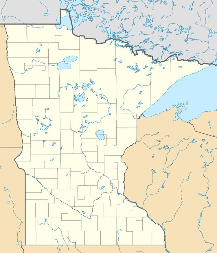
Map of Independence, MN 55779, USA
The community is located 22 miles northwest of the city of Duluth at the junction of U.S. Highway 53 and State Highway 33 (MN 33). Saint Louis County Highway 47 (CR 47) is also in the vicinity. Independence is located 17 miles north of the city of Cloquet.
The Cloquet River flows through the area. The community of Culver is nearby.
Local business establishments include the Wayside Corner Store Spur.
References
Independence, St. Louis County, Minnesota Wikipedia(Text) CC BY-SA