
Country India District Nagaur Settled Ancient Elevation 334 m ISO 3166 code ISO 3166-2:IN | State Rajasthan Tehsil Mundwa Founded by Khedadhani Baba Area code 01585 | |
 | ||
Inana is the notified area and a village in Mundwa Tehsil in Nagaur district in the Indian state of Rajasthan. It belongs to the Ajmer division of Rajasthan. It is located 13 km towards east from District headquarters in Nagaur, 8 km from Mundwa main town and 232 km from state capital Jaipur.
Contents
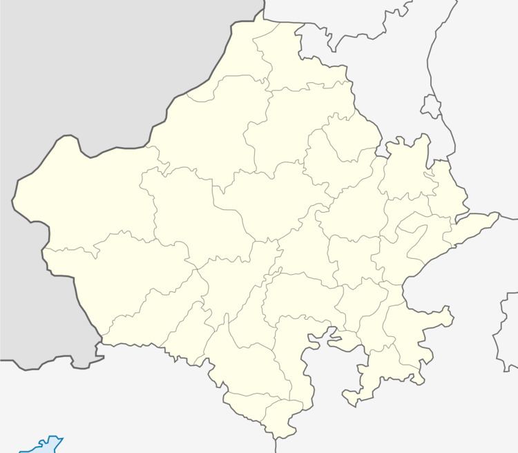
Map of Inana, Rajasthan
Geography
Inana is located 27.043°N 73.851°E / 27.043; 73.851 13 km towards east from District headquarters in Nagaur . The village is surrounded by Nagaur Tehsil towards west , Jayal Tehsil towards East , Degana Tehsil towards East and Merta Tehsil towards South. Tausar (10 km), Bhadana (11 km), Chainar (11 km), Roll (11 km), Hanuman Bagh Colony (11 km) are the nearby Villages to Inana. Nagaur, Phalodi, Merta City, Nokha are the nearby cities to Inana.
Demographics
Marwari is the local language here. People also use Hindi and English as the medium of communication. The postal code of the area is 341026.
Transport
Marwar and Mundwa railway stations are the very nearby railway stations to Inana. However Nagaur and Ajmer railway stations are major railway stations near to the village.