Country Algeria Time zone CET (UTC+01) Area 46,813 km² Population 7,045 (2008) Postal code 11130 | Elevation 400 m (1,300 ft) ONS code 1104 Province Tamanrasset Province Local time Saturday 3:38 PM Number of airports 1 | |
 | ||
District In Guezzam (coextensive) Weather 32°C, Wind NE at 19 km/h, 5% Humidity | ||
In Guezzam (Arabic: عين قزام, lit. springs of Guezzam; Berber spelling: Gezzam) is a town and commune, and coextensive with In Guezzam District, in Tamanrasset Province, Algeria, on the border with Niger. The border town on the Niger side is Assamaka. According to the 2008 census it has a population of 7,045, up from 4,938 in 1998, with an annual growth rate of 3.7%, the second highest in the province.
Contents
Map of In Guezzam, Algeria
Geography
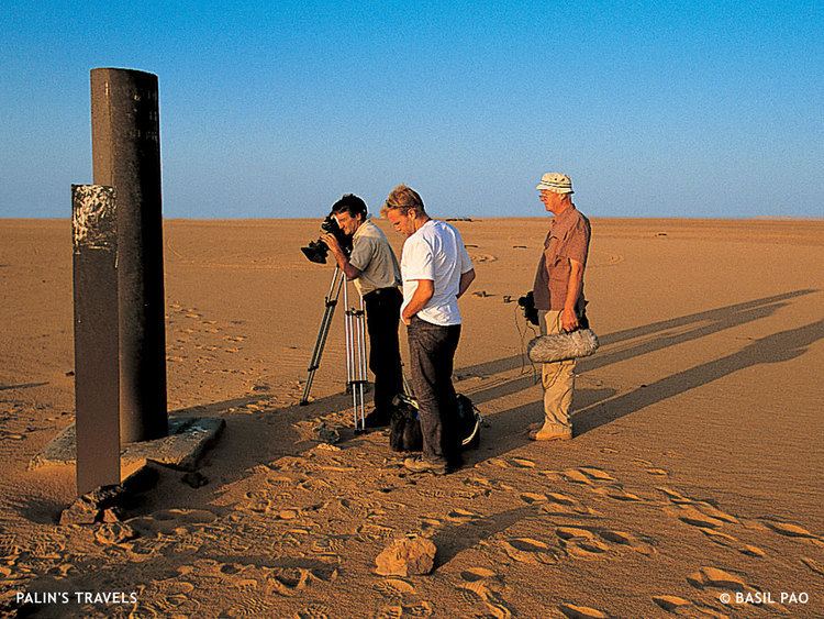
In Guezzam lies in the barren Tanezrouft region of far southern Algeria. The landscape is sandy, with frequent sand dunes interspersed with sandstone outcrops.
Climate
In Guezzam has a hot desert climate (Köppen climate classification BWh), with long, extremely hot summers and short, very warm winters. Despite an extremely dry climate, some occasional rainfall occur during the months of August and September due to the influence of the far northern edge of the West African Monsoon, unlike most of the Algerian Desert. Averages high temperatures soar during the height of the long summer season, with daytime highs always over 40 °C (104 °F) during nearly 4 months and even above 45 °C (113 °F).
