
Country United States County Allegheny Time zone Eastern (EST) (UTC-5) Local time Saturday 6:36 AM | State Pennsylvania Townships Findlay, North Fayette Population 2,541 (2010) | |
 | ||
Weather -9°C, Wind NW at 19 km/h, 69% Humidity | ||
Imperial is a census-designated place (CDP) in Allegheny County, Pennsylvania, United States and part of the Pittsburgh metropolitan area. The community was formerly part of the Imperial-Enlow CDP before splitting into two separate CDP's. The population was 2,541 at the 2010 census.
Contents
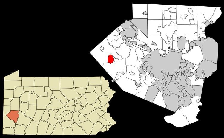
Map of Imperial, PA, USA
The CDP is located in North Fayette and Findlay Townships.
History
Imperial was established as a mining town in about 1879 by the Imperial Coal Company. It sits along Montour Run on land that had been the farm of Robert Wilson. Known at first as Montour City, the town soon took the name of the coal company, with a post office under the name Imperial opening in 1880. The town and nearby mines were served by the Montour Railroad.
Geography
Imperial is located at 40°27′13″N 80°14′59″W (40.4536 N, 80.2498 W).
According to the United States Census Bureau, the CDP has a total area of 3.1 square miles (8.0 km2), all of it land.
Demographics
During the 2010 United States census, the population was 2,541, 94 of which had been born outside of the United States, and 173 of which were veterans. 85.9% of the total population had graduated high school or higher. The median age was 40.9 years. The median household income was $56,439. 6.3% of the population were below the poverty level.