
Existed: 1967 – present Length 97 km | Constructed 1967 | |
 | ||
Major cities | ||
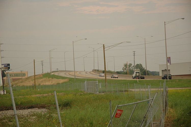
Crash lake forest il waukegan road illinois route 43 near illinois 176 12 16 2013
Illinois Route 43 is a major north–south state road in the U.S. state of Illinois. It runs from U.S. Route 30 in Frankfort north to the large intersection of Illinois Route 120 (Belvidere Road) and U.S. Route 41 (Skokie Highway) in Waukegan.
Contents
- Crash lake forest il waukegan road illinois route 43 near illinois 176 12 16 2013
- Map of IL 43 Illinois USA
- Route description
- History
- References
Map of IL-43, Illinois, USA
Route description
Illinois 43 is called Waukegan Road for the first 20 miles (32 km) until its intersection with Oakton Street in Niles; it then follows that road west one block until it turns back south and remains Harlem Avenue for the duration. When Illinois Route 50 begins in Skokie and Illinois Route 171 begins in Chicago, It parallels those routes for much of the rest of its length. It enters, exits, and runs parallel to Chicago limits several times, passing through or parallel to Edison Park, Norwood Park, Dunning, Montclare, and Austin on the Northwest Side then Garfield Ridge and Clearing on the Southwest Side. It's listed as 7200 West in the Chicago address system. It is one of seven state roads that travel through the city of Chicago.
History
Illinois Route 42A originally ran on Waukegan Road and Harlem Avenue along modern-day Illinois 43. It was extended north to Highland Park in 1937 before being dropped for Illinois 43 in 1967.
The original Illinois 43 is a current section of Illinois Route 4 from Marine to Murphysboro.
In Deerfield, Route 43 is designated a Blue Star Memorial Highway.