
Existed: 1946 – present North end: US 6 in Seneca Constructed 1946 | South end: IL 23 in Cornell Length 40.2 km Major cities Ransom | |
 | ||
Counties Livingston County, Illinois, LaSalle County | ||
Illinois Route 170 is a north–south state road in north-central Illinois. It runs from Illinois Route 23 well north of Pontiac to U.S. Route 6 in Seneca. This is a distance of 25.00 miles (40.23 km).
Contents
Map of IL-170, Illinois, USA
Route description
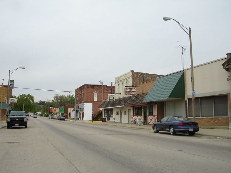
Illinois 170 is a rural, two-lane surface road for its entire length. The road crosses Illinois River via a four-span truss bridge. As of May 5, 2006, the Illinois Department of Transportation is looking to replace the 74-year-old bridge. The old bridge was imploded on November 18, 2010.
History
SBI Route 160 originally ran from Red Bud to Sparta; this became Illinois Route 154 in 1937. In 1946, it replaced Illinois Route 186 from Seneca south to Illinois Route 17 near Budd. In 1995 Illinois 170 was extended further south to Illinois 23.
References
Illinois Route 170 Wikipedia(Text) CC BY-SA