
Existed: 1924 – present Counties: Randolph Constructed 1924 Major cities Prairie du Rocher | East end: IL 3 in Ruma Length 17.4 km County Randolph County, Illinois | |
 | ||
West end: Fort de Chartres State Historical Site in Prairie du Rocher | ||
Illinois Route 155 is an east–west state highway in southwestern Illinois. It runs from Fort de Chartres – outside of Prairie du Rocher – to Illinois Route 3 in Ruma. This is a distance of approximately 10.81 miles (17.40 km).
Contents
Map of IL-155, Prairie Du Rocher, IL 62277, USA
Route description
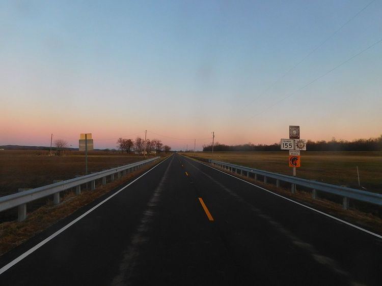
Illinois 155 serves as a spur from Illinois Route 3 through Prairie du Rocher and on to Fort de Chartres. It is recognized as a spur of the Great River Road. It is also part of the Lincoln Heritage Trail. Illinois 155 is a two-lane road from Fort de Chartres all the way to Illinois 3.
History
Illinois Route 155 was established in 1924 with the second batch of SBI routes. Its route has not changed since 1924.
Major intersections
The entire route is in Randolph County.
References
Illinois Route 155 Wikipedia(Text) CC BY-SA