
Length 147 km Source elevation 783 m Bridges König Ludwig Brücke | Basin size 2,152 km (831 sq mi) Discharge 90 m³/s | |
 | ||
Main source | ||
The Iller (ancient name Ilargus) is a river in Bavaria and Baden-Württemberg in Germany. It is a right tributary of the Danube, 147 kilometres (91 mi) long.
Map of Iller, Germany
The source is near Oberstdorf in the Allgäu region of the Alps, close to the Austrian border. From there it runs northwards, passing the towns of Sonthofen, Immenstadt, and Kempten.
Between Lautrach near Memmingen and Ulm it forms the border between the two German States Bavaria and Baden-Württemberg for about 50 kilometres (31 mi). The river flows into the Danube in the city of Ulm.
The Iller has a catchment area of 2,152 square kilometres (831 sq mi). It ranks as the seventh of Bavaria's rivers by water flow, with an average throughput of 75 cubic metres per second (2,600 cu ft/s) at Senden, a short distance upstream from the Danube. The power of the river is used for the production of hydroelectricity via eight power stations with a total net capacity of 51 MW (1998).
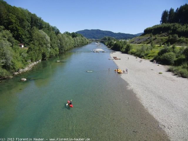
A bicycle route follows the Iller, which is also a popular location for rafting and trekking.