
Postcode(s) 2590 Elevation 279 m Local time Saturday 10:19 AM | Postal code 2590 | |
 | ||
Population 190 (2006 census Census) Weather 24°C, Wind N at 13 km/h, 39% Humidity | ||
Pn grain train illabo nsw
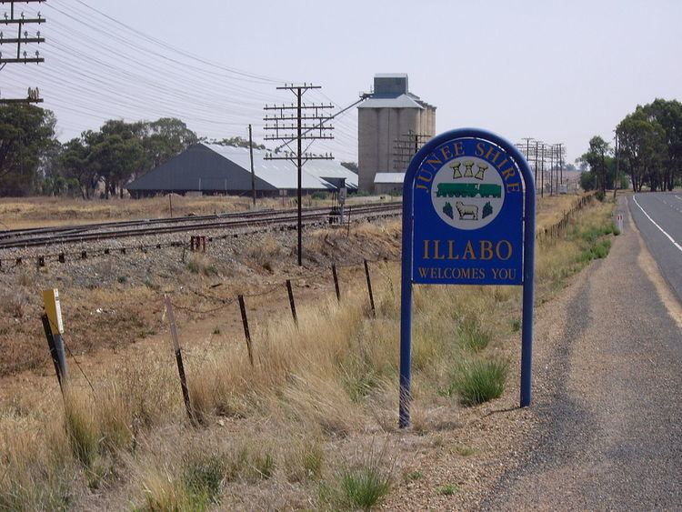
Illabo is a locality in the South West Slopes part of the Riverina and situated about 13 kilometres (8 mi) southwest of Bethungra and 16 kilometres (10 mi) northeast of Junee. At the 2006 census, Illabo had a population of 190.
Contents
Map of Illabo NSW 2590, Australia
Illabo Post Office opened on 1 July 1879. A railway station on the Main South railway served the town between 1878 and the 1970s. A grain silo remains in use. The town name is derived from an Aboriginal word meaning "where".
Illabo rest area illabo nsw
References
Illabo Wikipedia(Text) CC BY-SA