Kalpana Kalpana (Editor)

Ilford, Manitoba

Updated on
Edit
Like
Comment
Share on FacebookTweet on TwitterShare on LinkedInShare on Reddit
Country
  
Canada

Province
  
Manitoba

Local time
  
Friday 4:03 PM

Number of airports
  
1

Ilford, Manitoba

Weather
  
-21°C, Wind NW at 19 km/h, 60% Humidity

Ilford, Manitoba is an Indian settlement in northern Manitoba, Canada. The Mooseocoot IR is located within the community boundary and is populated by the War Lake First Nation.

Contents

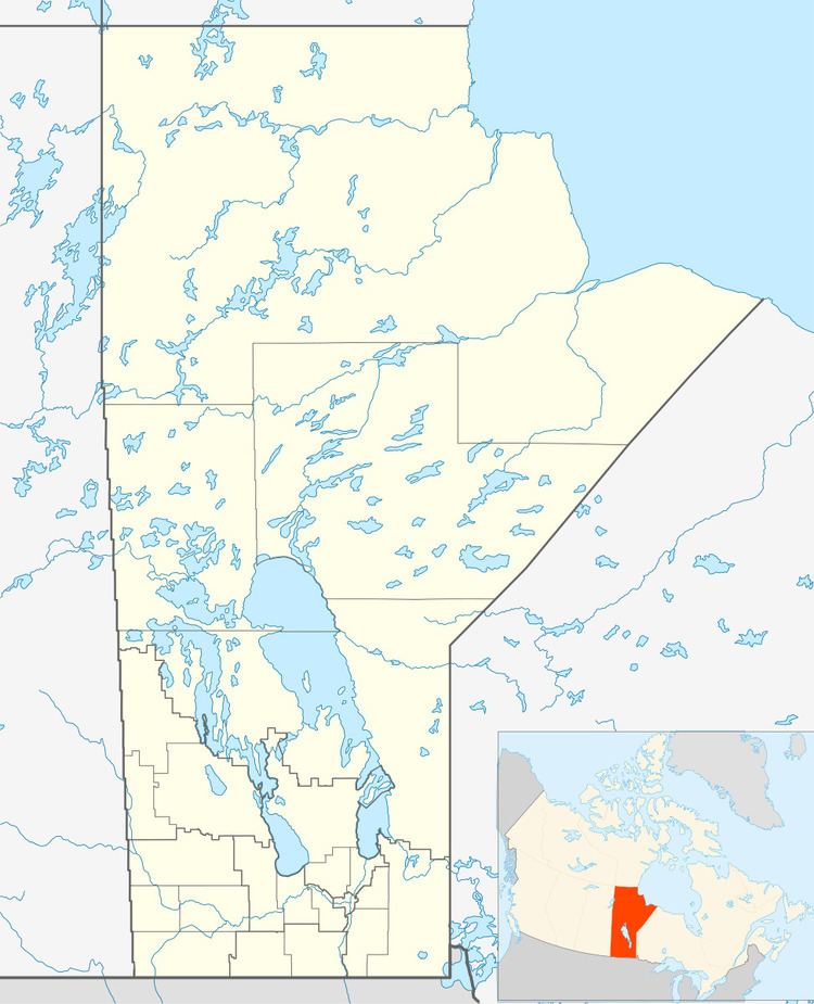
Map of Ilford, MB, Canada

Demographics

In the 2011 Census, Ilford had a population of 7001430000000000000♠43 living in 7001110000000000000♠11 of its 7001110000000000000♠11 total private dwellings.

Services

The community provides the following services:

  • fire protection by a volunteer fire department with pumper truck,
  • Royal Canadian Mounted Police (RCMP)
  • Community Health Worker
  • Ilford Airport
  • Via Rail serve passengers at the Ilford railway station.
  • Power provided by Manitoba Hydro
  • Telephone service provided by Manitoba Telecom Services
  • Chlorinated and filtered water service (sourced from Moose Nose Lake)
  • Sewage treatment plant (installed in 1994)
  • Julie Lindal School (including Gymnasium)
  • Multi-purpose building
  • Skating rink
  • Gold Trail Hotel
  • References

    Ilford, Manitoba Wikipedia