
Country Iran Bakhsh Central Website www.e-ilam.ir Local time Saturday 12:26 AM Number of airports 1 | County Ilam Time zone IRST (UTC+3:30) Population 172,213 (2011) Province Ilam Province | |
 | ||
Weather 11°C, Wind E at 8 km/h, 32% Humidity University Medical University of Ilam Neighborhoods Hanivan, Shadabad, Ban Bor, Khayam | ||
Ilam (Persian: ايلام; also Romanized as Īlām and Elām) is a city in and the capital of Ilam Province, Iran and the third biggest kurdish city in Iran. At the 2006 census, its population was 155,289, in 34,549 families.
Contents
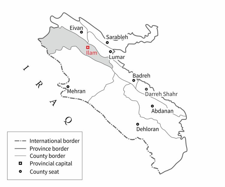
Map of Ilam, Ilam Province, Iran
The Kabir Kuh mountain range lies east of the city. From the west it borders Iraq. The city is populated by Kurds and its primary language is Kurdish.
Architecture
Like many other regions of Iran the architecture in Ilam includes traditional and contemporary periods. Although easy access to fossil fuels and electricity may have aided the transition in Iranian architecture in other regions of Iran from its traditional to modern styles, in Ilam the increasing population has also played a role.
The Governor Castle, Falahaty Mansion and The Mirgholam Castle are examples of some surviving traditional buildings in Ilam. The courtyard dwelling is the main type of the buildings of this period. This type of building was accepted as the main building type over all Iran for both climatic and cultural reasons. Brick is the main constructional material in these buildings. The passive thermal techniques indicated for the Iranian traditional buildings are commonly used in these buildings.
The Governor Castle of Ilam was built in type of courtyard. Adding shade and moisture by using green landscape, high trees and a pond, were the main passive techniques used in this building to reduce the temperature in summer. The Mirgholam Castle of Ilam presents a classic Iranian courtyard. The garden and the pound were the main elements of this type of buildings. The Falahaty Mansion used a pitched roof as it was regular beside the flat roofs in the traditional buildings in Ilam earlier.
Climate
Ilam is situated in the cold mountainous region of Iran at a height of 1,319 metres (4,330 ft) above mean sea level. It is located in the west of Iran at a latitude of 33° 38´ north and longitude of 46° 26´ east. Although this city is surrounded by mountains, its climate is also affected by deserts from the west and the south. This region presents a highly variable annual weather profile. Heavy showers or snow in the winter and dusty, brutally hot, dry weather in the summer are normal for this region. Monthly rainfalls have been as high as 352.1 millimetres (13.86 in) in March 1974, whilst daily rainfalls have reached 86 millimetres or 3.39 inches on 26 February 1991. Temperatures have ranged from a high of 47.0 °C or 116.6 °F on 20 August 1975 to a low of −15.0 °C or 5.0 °F on 5 February 1974.
Ilam’s climate is classed under the Köppen climate classification as a Mediterranean climate (Csa) with continental influences.
Colleges and universities
Ilam contains the following universities: