
Country United States County Madison FIPS code 13-40840 Area 210 ha Zip code 30647 Population 336 (2013) | Time zone Eastern (EST) (UTC-5) GNIS feature ID 0315877 Elevation 244 m Local time Friday 3:49 PM Area code 706 | |
 | ||
Weather 22°C, Wind NW at 23 km/h, 27% Humidity | ||
Ila is a city in Madison County, Georgia, United States. The population was 328 at the 2000 census.
Contents
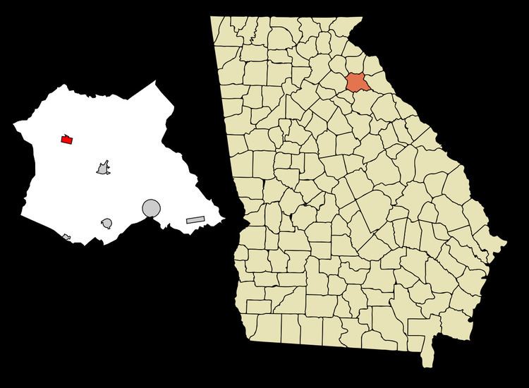
Map of Ila, GA, USA
History
Ila was originally settled in 1879 with a post office in a small town named 0'possum, Ga. Judge Emory Speer acquired approximately 500 acres land through a lawyer fee which he sold to Dr. George C. Daniel who secured, and named the post office which was fed by a route from Danielsville to Harmony Grove (now Commerce). He later sold the property to Chan Campbell and Llewellyn Thomson who erected a store and changed the name of the place to Ila in honor of a very pretty little girl of the community. The change of name from 0'possum to Ila has been dated to the 1882-1883. During the 1880s Dr. George W. Westbrook joined them and the area grew into a small community. The land was incorporated as the town of Ila in 1910.
Demographics
As of the census of 2000, there were 328 people, 137 households, and 86 families residing in the city. The population density was 403.2 people per square mile (156.3/km²). There were 143 housing units at an average density of 175.8 per square mile (68.2/km²). The racial makeup of the city was 97.26% White, 2.13% African American, and 0.61% from two or more races. Hispanic or Latino of any race were 0.30% of the population.
There were 137 households out of which 27.0% had children under the age of 18 living with them, 49.6% were married couples living together, 6.6% had a female householder with no husband present, and 37.2% were non-families. 29.9% of all households were made up of individuals and 13.9% had someone living alone who was 65 years of age or older. The average household size was 2.39 and the average family size was 3.03.
In the city, the population was spread out with 22.9% under the age of 18, 7.6% from 18 to 24, 29.0% from 25 to 44, 28.4% from 45 to 64, and 12.2% who were 65 years of age or older. The median age was 39 years. For every 100 females there were 97.6 males. For every 100 females age 18 and over, there were 94.6 males.
The median income for a household in the city was $41,250, and the median income for a family was $44,583. Males had a median income of $31,875 versus $24,167 for females. The per capita income for the city was $16,890. About 11.6% of families and 14.6% of the population were below the poverty line, including 22.2% of those under age 18 and 15.2% of those age 65 or over.
Culture
Today, Ila is most prominently known for its numerous junk shops that all operate around the main intersection of SR 106 and SR 98.
Geography
Ila is located at 34°10′25″N 83°17′34″W (34.173692, -83.292706).
According to the United States Census Bureau, the city has a total area of 0.8 square miles (2.1 km2), all of it land.