Supriya Ghosh (Editor)

Ikoma, Nara

Updated on
Edit
Like
Comment
Share on FacebookTweet on TwitterShare on LinkedInShare on Reddit
Country
  
Prefecture
  
Population
  
118,113 (2010)

Region
  
Area
  
53.18 km²

Local time
  
Saturday 4:24 AM

Ikoma, Nara wwwhotelroomsearchnetimcityikomajapan2jpg

Time zone
  
Japan Standard Time (UTC+9)

City hall address
  
8-38 Higashi-shinmachi, Ikoma-shi, Nara-ken630-0288

Website
  
www.city.ikoma.lg.jp/en/

Weather
  
4°C, Wind N at 6 km/h, 89% Humidity

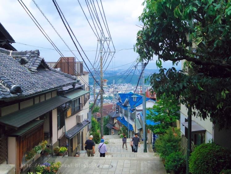
Ikoma (生駒市, Ikoma-shi) is a city located in the northwestern end of Nara Prefecture, Japan. The city was founded on November 1, 1971.

Contents

Map of Ikoma, Nara Prefecture, Japan

As of September 1, 2014, the city has an estimated population of 199,390, with 48,625 households. Population density of 2,262.20 persons per km², and it is the third biggest population in the prefecture. The total area is 53.18 km². The city is a famous "Chasen" town.

Notable locations

  • Mount Ikoma
  • Skyland Ikoma
  • Kurondo-ike Pond
  • Kuragari-toge Pass
  • Religious institutions

  • Ikoma Jinja
  • Hozan-ji
  • Chikurin-ji
  • Chokyu-ji
  • Chofuku-ji
  • Enpuku-ji
  • Sekibutsu-Ji
  • Rail

  • Kintetsu Railway
  • Nara Line: Ikoma Station - Higashi-Ikoma Station
  • Ikoma Line: Ikoma Station - Nabata Station - Ichibu Station - Minami-Ikoma Station - Haginodai Station - Higashiyama Station
  • Keihanna Line: Ikoma Station - Shiraniwadai Station - Gakken Kita-Ikoma Station - Gakken Nara-Tomigaoka Station
  • Ikoma Cable Line: Toriimae Station (Ikoma Station) - Hōzanji Station - Umeyashiki Station - Kasumigaoka Station - Ikoma-Sanjō Station
  • Roads

  • Expressways
  • Hanshin Expressway Dainihanna Route
  • Japan National Route 163
  • Japan National Route 168
  • Japan National Route 308
  • Shigi Ikoma Skyline [1]
  • References

    Ikoma, Nara Wikipedia