
Website www.iinan.jp Local time Saturday 2:54 AM | Region ChūgokuSan'in Area 242.8 km² Population 5,419 (1 Jan 2011) | |
 | ||
Time zone Japan Standard Time (UTC+9) City hall address 890 Shimoakana, Iinan-machi690-3513 Weather -3°C, Wind SE at 6 km/h, 90% Humidity | ||
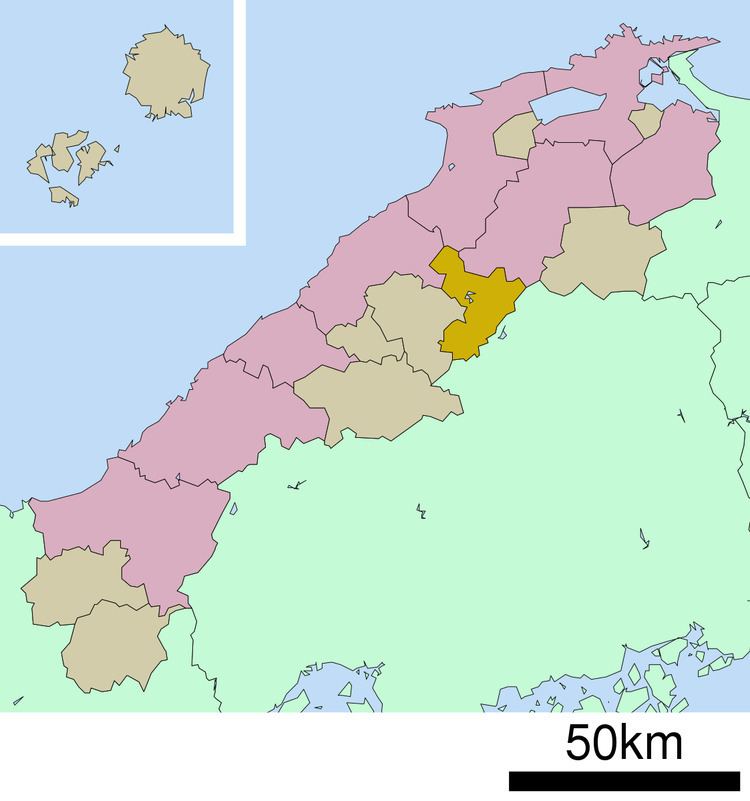
Iinan (飯南町, Iinan-chō) is a town located in Iishi District, Shimane Prefecture, Japan.
Contents
- Map of Iinan Iishi District Shimane Prefecture Japan
- Geography
- Subdivisions
- Surrounding municipalities
- Population
- National Highways
- Roadside Stations
- Notable places
- References
Map of Iinan, Iishi District, Shimane Prefecture, Japan
It was formed on January 1, 2005 from the merger of the towns of Tonbara and Akagi, both from Iishi District.
As of January 1, 2011 the town has a population of 5,419 and a density of 22.3 persons per km². The area is 242.84 km².
Geography
Located on the border of Shimane Prefecture and Hiroshima Prefecture, the Gōno River flows to its west. The town is part of the Hiba-Dōgo-Taishaku Quasi-National Park.
Mountains: Mt. Oyorogi, Mt. Kotobiki, Mt. Mengame
Rivers: Kando River, Tonbara River, Akana River, Ono River (Tributary of Kando River)
Lakes:Lake Kijima (Kijima Dam lake)
Subdivisions
Surrounding municipalities
Population
Iinan Population Change over Time
National Highways
Roadside Stations
There is no railroad access to Iinan.
Notable places
References
Iinan, Shimane Wikipedia(Text) CC BY-SA