Total islands 1 Length 1.63 km (1.013 mi) Elevation 81 m | Major islands Igwali Width 1.3 km (0.81 mi) Area 147 ha Adjacent body of water Solomon Sea | |
 | ||
Igwali Island (also known as Paples Island) is an island north of Sariba Island, and on the eastern side of China Strait, in Milne Bay Province, Papua New Guinea.
Contents
- Map of Iguari Islands Papua New Guinea
- Administration
- Geography
- Demographics
- Economy
- Transportation
- References
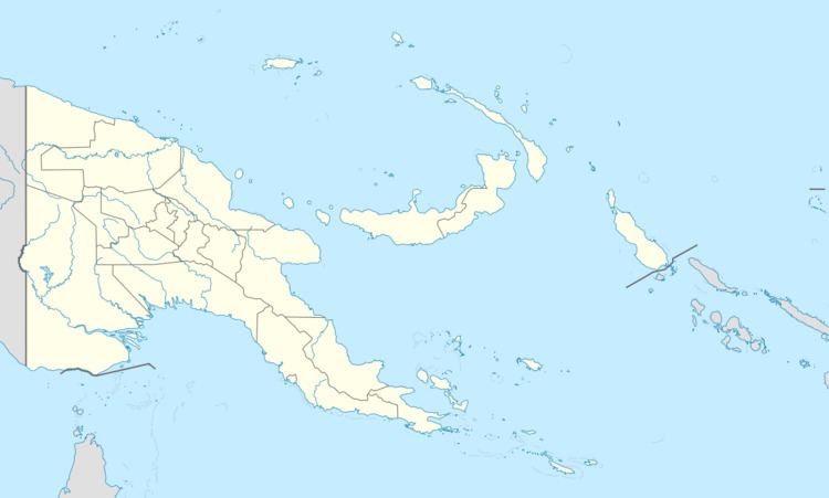
Map of Iguari Islands, Papua New Guinea
Administration
The island is part of Sidudu Ward, which belongs to Bwanabwana Rural Local Level Government Area LLG, Samarai-Murua District, which are in Milne Bay Province.
Geography
The island is part of the Sariba group, itself a part of Samarai Islands of the Louisiade Archipelago.
Demographics
The population of 10 is living in 3 separate hamlets. Igwali in the central west coast, Naba Riaria on the northwest point, and Ga-Uri on the southeast point.
Economy
The islanders, are farmers as opposed to eastern Louisiade Archipelago islanders. they grow Sago, Taro, and Yams for crops.
Transportation
There is a slipway at Igwali.
References
Igwali Island Wikipedia(Text) CC BY-SA
