
Local time Friday 7:33 AM | Elevation 7 m | |
 | ||
Weather 12°C, Wind NW at 2 km/h, 88% Humidity | ||
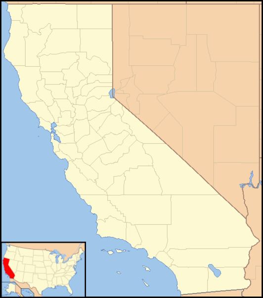
Ignacio (formerly Pacheco) is an unincorporated community in Marin County, California. It is located 3 miles (4.8 km) southeast of downtown Novato, at an elevation of 30 feet (9 m).
Contents
Map of Ignacio, Novato, CA 94949, USA
Ignacio is an affluent neighborhood located west of Bel Marin Keys, CA. According to the U.S. Geological Survey (USGS), it is located at 38°04′13″N 122°32′19″W, placing it north of the interchange of U.S. Route 101 and Ignacio Boulevard, in Novato.
History
Two authenticated Coast Miwok villages existed near Ignacio: Puyuku (south of the town) and Shotokmo-cha (to the southeast).
During the 1840s and 1850s, Ignacio was part of Rancho San Jose, a 6,659-acre (26.95 km2) land grant which Governor Alvarado awarded to Ignacio Pacheco. After Ignacio died in 1864, his estate was divided among his heirs.
During World War II, Ignacio became the site of military housing for Hamilton Air Force Base. These military houses were eventually torn down and replaced by a more suburban community.
The Ignacio post office opened in 1893, closed in 1944, and re-opened in 1961.