
Length 60 km | Source elevation 960 m | |
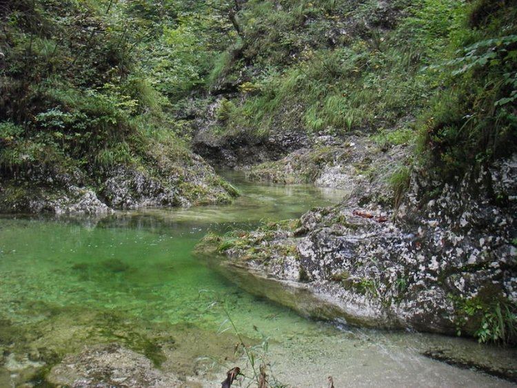 | ||
Slovenia idrijca river trophy part nervous waters
The Idrijca is a river flowing through the Idrija Hills and Cerkno Hills. It is 60 kilometres (37 mi) long. It rises near Vojsko, flows towards northeast and after passing through Idrija turns to the northwest. After passing through Spodnja Idrija and Cerkno it joins the Soča in Most na Soči. It has the pluvio-nival regime and belongs to the Adriatic Sea Basin.
Contents
- Slovenia idrijca river trophy part nervous waters
- Map of Idrijca Slovenia
- Idrijca slovenia fly fishing com river trout
- Tributaries
- References
Map of Idrijca, Slovenia
The river basin has an area of 598 square kilometres (231 sq mi). The major tributaries are the Belca, Zala, Cerknica, and Bača from the right and the Nikomlja, Kanošica, and Trebušica from the left. One of the right tributaries is also the Jezernica River, which originates from the Wild Lake (Slovene: Divje jezero). Being only 55 m long, the Jezernica is the shortest river in Slovenia.
The river has many fish, among which the Salmo marmoratus, the Rainbow Trout, and the Grayling are noteworthy. In the past, timber was driven down the Idrijca to Idrija to be used as pillars in the Idrija mercury mine. Special logging sluices (Sln. klavže) were employed for this purpose from the 17th until the 19th century.
The area of the upper Idrijca has been proclaimed the Upper Idrijca Landscape Park. It encompasses numerous karst features and diverse plant species. During World War II, Pavla Partisan Hospital stood there.