
Palestine grid 147/107 Name meaning "Lower" | Governorate Hebron | |
 | ||
Weather 16°C, Wind NW at 11 km/h, 76% Humidity | ||
Idhna (Arabic: إذنا) is a Palestinian town in the southern West Bank, located in the Hebron Governorate, 13 kilometers west of Hebron and about one kilometer east of the Green Line. According to the Palestinian Central Bureau of Statistics, the town had a population of approximately 19,012 inhabitants in 2007.
Contents
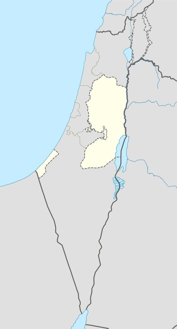
Map of Idhna
Idhna is physically divided into southern and northern parts by the Wadi al-Feranj. Idhna's primary source of income is agriculture and the town's total land area is 21,526 dunams (215 km²), of which 2,809 dunams (28 km²) are built up area. Idhna is governed by a municipal council of thirteen members and six departments.
History
Idhna's site was inhabited since Canaanite times (the Bronze Age), evident from ancient remains found in the town. The town is identified with the biblical city of Dannah, mentioned in Joshua 15:49. Hebrews, Byzantines and Arabs succeeded in gaining control of the town and coins, statues, tombs and pottery dating from these various rulers were found in the town.
Ottoman era
Idhna was incorporated into the Ottoman Empire in 1517 with all of Palestine, and in 1596 it appeared in the tax registers as being in the nahiya of Halil in the liwa of Quds. It had a population of 68 households, all Muslim. The inhabitants of the village paid taxes on wheat, barley, olives, vineyards, fruit trees, goats and/or beehives.
Edward Robinson, who visited Idhna in 1838, recorded that the town's two parts were led by a sheikh and the inhabitants of each part followed and backed their respectable sheikh in internal quarrels. Adjacent to Idhna are the ruins of the original village which is totally covered by cultivable fields. Marble tesserae (mosaic stones) were found on the site.
The French explorer Victor Guérin visited Idna in June 1863. He described a village with almost 500 inhabitants, divided into two districts, each ruled by a sheik. Many houses, especially a small Bordj, had substructures of stone, which, to all appearances, were dating back to antiquity.
An Ottoman village list of about 1870 showed that Hatta had 22 houses and a population of 108, though the population count included only men.
In 1883 the Palestine Exploration Fund's Survey of Western Palestine (SWP) described Idhna as "a small village on the south slope of a hill [ ] divided by a small depression into two." SWP further found that near the town were several large caves with niches for lamps or skulls.
British Mandate era
In the 1922 census of Palestine, conducted by the British Mandate authorities, Idna had a population of 1,300, all Muslim, increasing in the 1931 census to 1719, still all Muslim, in 317 houses.
In 1945 the population of Idna was 2,190, all Muslims, who owned 34,002 dunams of land according to an official land and population survey. 528 dunams were plantations and irrigable land, 14,481 for cereals, while 153 dunams were built-up (urban) land.
Modern period
In the wake of the 1948 Arab–Israeli War, and after the 1949 Armistice Agreements, Idna came under Jordanian rule. Since the Six-Day War in 1967, Idhna has been under Israeli occupation. The population in the 1967 census conducted by the Israeli authorities was 3,713.
On 25 April 2015 Mahmoud Abu Jheisha, 20 years old, from Idhna was shot dead in Hebron after he had been accused of stabbing an Israeli soldier several times.