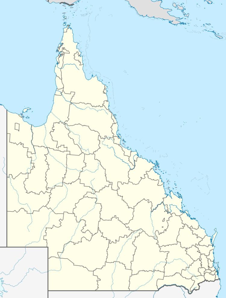
Population 225 (2011 census) Ideraway Bon Accord Postal code 4625 | Postcode(s) 4625 Local time Friday 7:19 PM | |
 | ||
Location 5.5 km (3 mi) NNE of Gayndah152 km (94 mi) W of Maryborough162 km (101 mi) S@ of Bundaberg329 km (204 mi) NNW of Brisbane Weather 29°C, Wind N at 6 km/h, 32% Humidity | ||
Ideraway is a small rural town and locality in North Burnett Region, Queensland, Australia. At the 2011 census, Ideraway had a population of 225.
Contents
Map of Ideraway QLD 4625, Australia
History
The town's name was derived from the name of a pastoral run, used from 1848 by J.B. Reid.
Ideraway Post Office opened by December 1909 (a receiving office had been open from 1908) and closed in 1957.
Heritage listings
Ideraway Creek has a number of heritage-listed sites, including:
References
Ideraway Wikipedia(Text) CC BY-SA
