
Counties: Bannock | Length 4.405 km | |
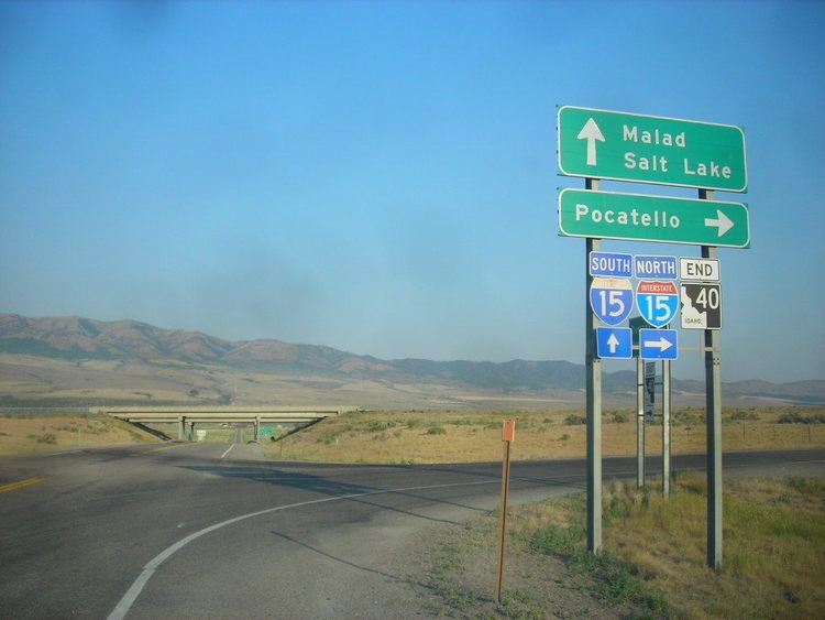 | ||
State Highway 40 (SH-40) is a 2.737-mile-long (4.405 km) state highway in the U.S. state of Idaho, serving the city of Downey in Bannock County. The highway travels due east between an interchange with Interstate 15 (I-15) and an intersection with U.S. Route 91 (US-91) in Downey.
Contents
Route description
SH-40 begins at a diamond interchange with I-15, located between Malad City and Pocatello, in rural Bannock County. The highway, known locally as Woodland Road, travels due east towards Downey and passes an Idaho Transportation Department maintenance yard before it enters the city of Downey. SH-40 ends at an intersection with US-91 within the city limits of Downey.
Every year, the Idaho Transportation Department (ITD) conducts a series of surveys on its highways in the state to measure traffic volume. This is expressed in terms of average annual daily traffic (AADT), which is a measure of traffic volume for any average day of the year. In 2011, ITD calculated that 752 vehicles used the highway between I-15 and US-91.
Major intersections
The entire route is in Bannock County.